Schnapper Rock Area, Schnapper Rock Postcode(0632) & Map in Schnapper Rock
Schnapper Rock Area, Schnapper Rock Postcode(0632) & Map in Schnapper Rock, Auckland, New Zealand
Schnapper Rock, Auckland, New Zealand
Schnapper Rock Postcodes
Schnapper Rock Area (estimated)
2.6 square kilometersSchnapper Rock Population (estimated)
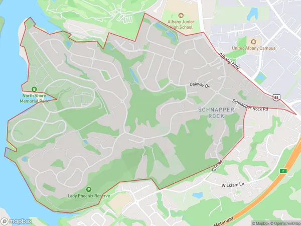
3986 people live in Schnapper Rock, Upper Harbour, NZSchnapper Rock Suburb Area Map (Polygon)
Schnapper Rock Introduction
Schnapper Rock is a prominent sea stack located off the coast of Auckland, New Zealand. It is a popular destination for climbers and tourists due to its stunning views and challenging climbing routes. The rock formation is approximately 30 meters high and is composed of basalt rock. It has a rich history, with evidence of human settlement dating back to prehistoric times.Region
Major City
Suburb Name
Schnapper RockOther Name(s)
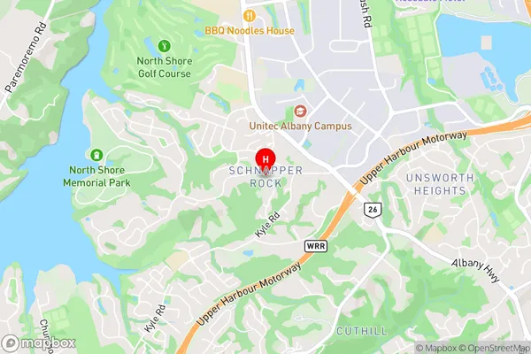
Albany North, Albany South, Cuthill, Meadowood, North Harbour, Sunset NorthSchnapper Rock Area Map (Street)
Local Authority
AucklandFull Address
Schnapper Rock, Auckland, New ZealandAddress Type
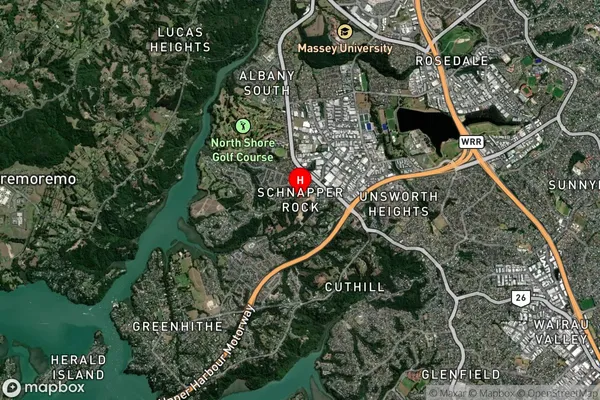
Suburb in City AucklandSchnapper Rock Suburb Map (Satellite)
Country
Main Region in AU
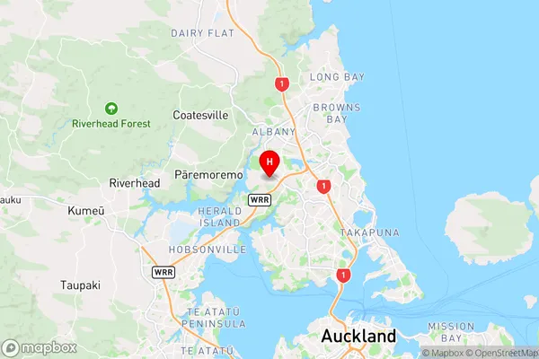
AucklandSchnapper Rock Region Map
Coordinates
-36.7562125,174.6949602 (latitude/longitude)Distances
The distance from Schnapper Rock, Auckland, Auckland to NZ Top 10 Cities