Unsworth Heights Area, Unsworth Heights Postcode(0629) & Map in Unsworth Heights
Unsworth Heights Area, Unsworth Heights Postcode(0629) & Map in Unsworth Heights, Auckland, New Zealand
Unsworth Heights, Auckland, New Zealand
Unsworth Heights Postcodes
Unsworth Heights Area (estimated)
2.3 square kilometersUnsworth Heights Population (estimated)
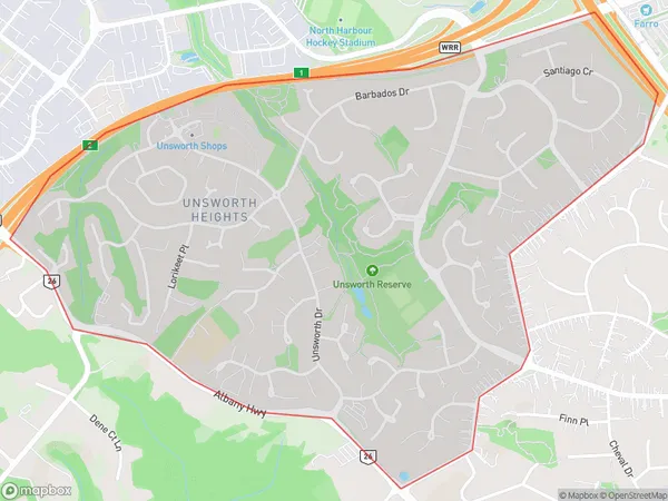
6327 people live in Unsworth Heights, Upper Harbour, NZUnsworth Heights Suburb Area Map (Polygon)
Unsworth Heights Introduction
Unsworth Heights is a residential suburb in Auckland, New Zealand, located in the Eastern Suburbs. It is known for its peaceful atmosphere, scenic views, and well-maintained homes. The suburb is named after Sir William Unsworth, a prominent New Zealand politician and judge. It is surrounded by several parks, including Unsworth Heights Park, which offers a variety of recreational facilities and is a popular spot for picnics and walks.Region
Major City
Suburb Name
Unsworth HeightsOther Name(s)
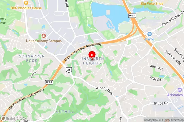
Albany North, Albany South, Cuthill, Meadowood, North Harbour, Sunset North, The PalmsUnsworth Heights Area Map (Street)
Local Authority
AucklandFull Address
Unsworth Heights, Auckland, New ZealandAddress Type
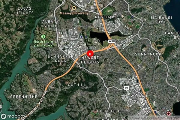
Suburb in City AucklandUnsworth Heights Suburb Map (Satellite)
Country
Main Region in AU
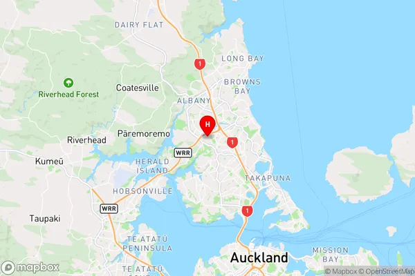
AucklandUnsworth Heights Region Map
Coordinates
-36.7567911,174.7118528 (latitude/longitude)Distances
The distance from Unsworth Heights, Auckland, Auckland to NZ Top 10 Cities