Northcote Point Area, Northcote Point Postcode(2627) & Map in Northcote Point
Northcote Point Area, Northcote Point Postcode(2627) & Map in Northcote Point, Auckland, New Zealand
Northcote Point, Auckland, New Zealand
Northcote Point Postcodes
Northcote Point Area (estimated)
1.2 square kilometersNorthcote Point Population (estimated)
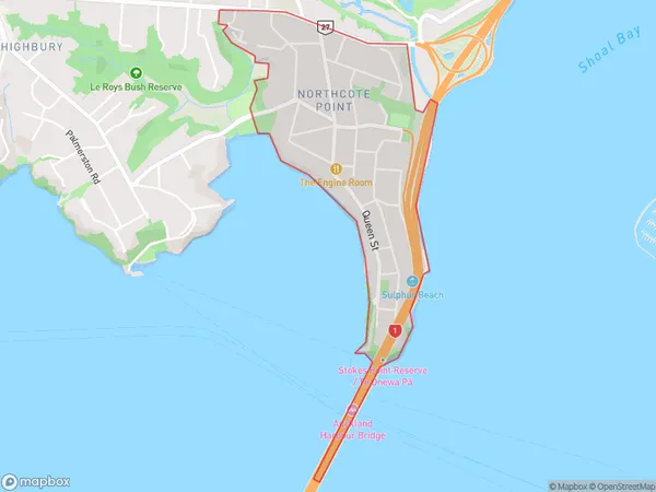
2659 people live in Northcote Point, Kaipātiki, NZNorthcote Point Suburb Area Map (Polygon)
Northcote Point Introduction
Northcote Point is a residential area, beach, and recreational area in Auckland, New Zealand. It is located at the northern end of Northcote Island, separated from the mainland by Northcote Harbour. The area is known for its scenic views, historic buildings, and vibrant community. It is a popular destination for tourists and locals alike, with many activities to enjoy, including swimming, hiking, cycling, and picnicking.Region
Major City
Suburb Name
Northcote PointOther Name(s)
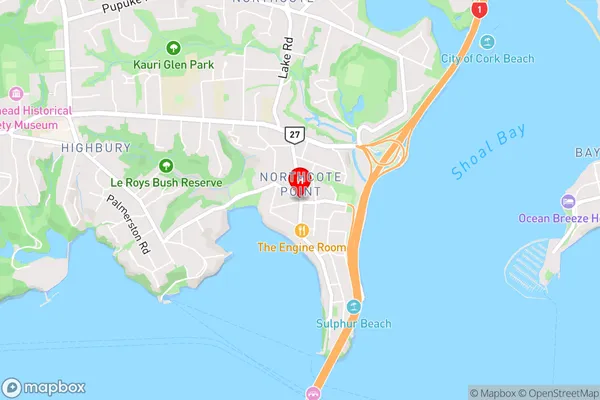
Northcote PtNorthcote Point Area Map (Street)
Local Authority
AucklandFull Address
Northcote Point, Auckland, New ZealandAddress Type
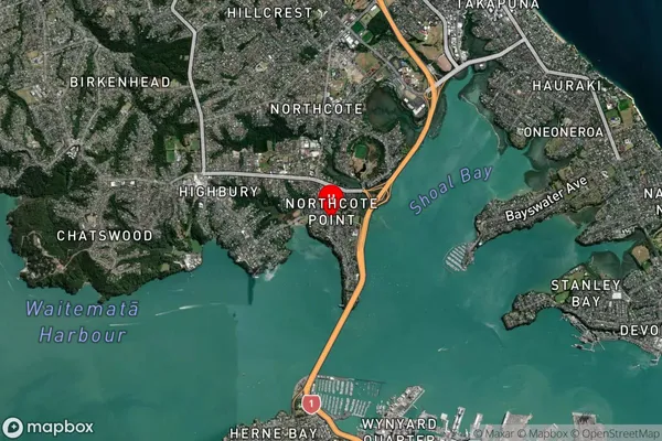
Suburb in City AucklandNorthcote Point Suburb Map (Satellite)
Country
Main Region in AU
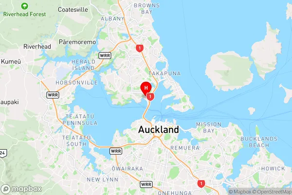
AucklandNorthcote Point Region Map
Coordinates
-36.8159392,174.7453889 (latitude/longitude)Distances
The distance from Northcote Point, Auckland, Auckland to NZ Top 10 Cities