Westbrook Area, Westbrook Postcode(4412) & Map in Westbrook
Westbrook Area, Westbrook Postcode(4412) & Map in Westbrook, Palmerston North City, New Zealand
Westbrook, Palmerston North City, New Zealand
Westbrook Postcodes
Westbrook Area (estimated)
3.9 square kilometersWestbrook Population (estimated)
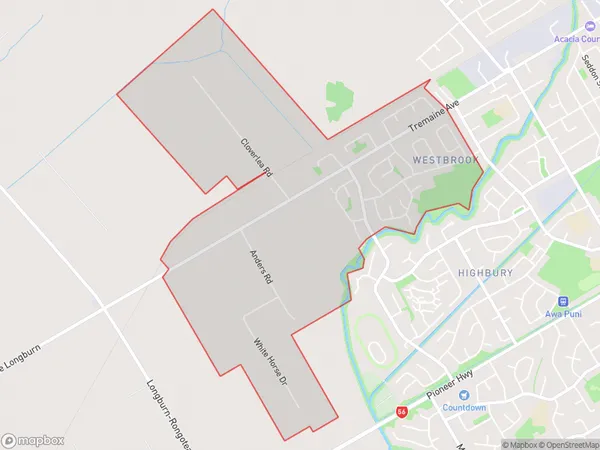
2530 people live in Westbrook, Palmerston North, NZWestbrook Suburb Area Map (Polygon)
Westbrook Introduction
Westbrook is a small rural community in the Manawatu-Wanganui region of New Zealand. It is located on the banks of the Wanganui River, approximately 10 kilometers south of Palmerston North. The area is known for its scenic countryside and peaceful atmosphere, making it a popular destination for those seeking a rural lifestyle. Westbrook has a primary school, a post office, and a small community hall. The community is surrounded by farmland and has a population of around 100 people.Region
Major City
Suburb Name
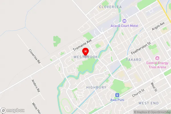
WestbrookWestbrook Area Map (Street)
Local Authority
Palmerston North CityFull Address
Westbrook, Palmerston North City, New ZealandAddress Type
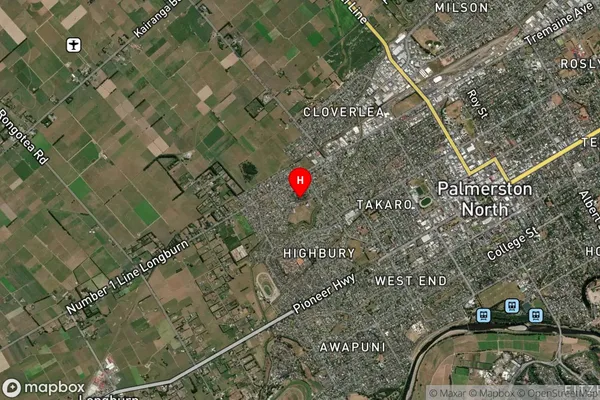
Suburb in City Palmerston NorthWestbrook Suburb Map (Satellite)
Country
Main Region in AU
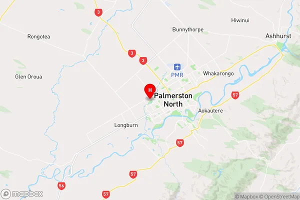
Manawatu-WanganuiWestbrook Region Map
Coordinates
-40.3564502,175.5795449 (latitude/longitude)Distances
The distance from Westbrook, Palmerston North, Palmerston North City to NZ Top 10 Cities