Blenheim Area, Blenheim Postcode(7301) & Map in Blenheim
Blenheim Area, Blenheim Postcode(7301) & Map in Blenheim, Marlborough District, New Zealand
Blenheim, Marlborough District, New Zealand
Blenheim Area (estimated)
4.4 square kilometersBlenheim Population (estimated)
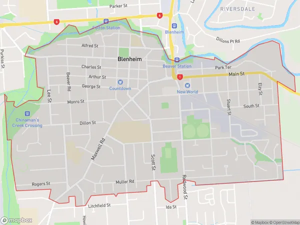
7280 people live in Blenheim, Marlborough, NZBlenheim Suburb Area Map (Polygon)
Region
Major City
Suburb Name
BlenheimOther Name(s)
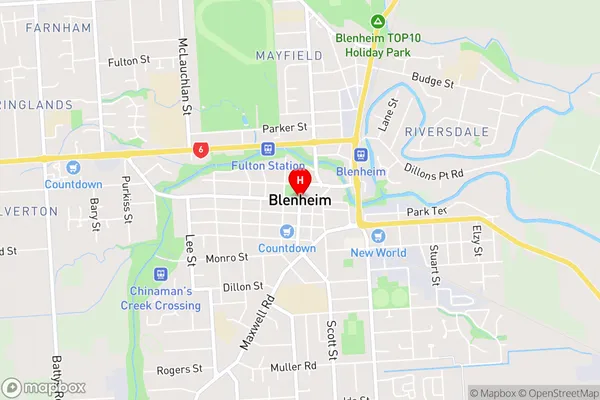
OmakaBlenheim Area Map (Street)
Local Authority
Marlborough DistrictFull Address
Blenheim, Marlborough District, New ZealandAddress Type
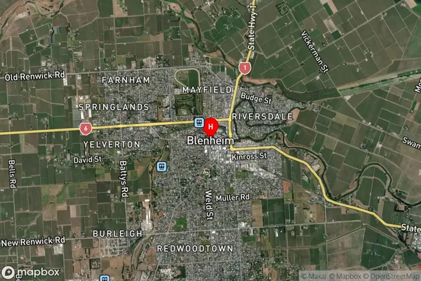
Suburb in Town BlenheimBlenheim Suburb Map (Satellite)
Country
Main Region in AU
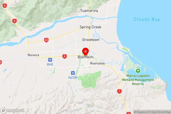
MarlboroughBlenheim Region Map
Coordinates
-41.5118691,173.9545856 (latitude/longitude)Distances
The distance from Blenheim, Blenheim, Marlborough District to NZ Top 10 Cities