Flaxton Area, Flaxton Postcode(7691) & Map in Flaxton
Flaxton Area, Flaxton Postcode(7691) & Map in Flaxton, Waimakariri District, New Zealand
Flaxton, Waimakariri District, New Zealand
Flaxton Postcodes
Flaxton Area (estimated)
16.1 square kilometersFlaxton Population (estimated)
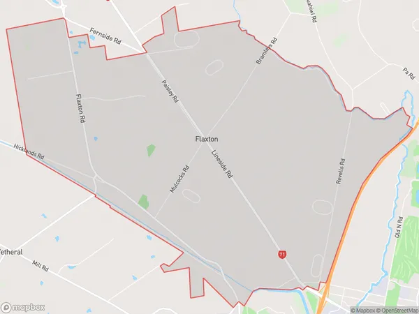
386 people live in Flaxton, Canterbury, NZFlaxton Suburb Area Map (Polygon)
Flaxton Introduction
Flaxton is a small rural town in Canterbury, New Zealand, located on the banks of the Rakaia River. It is known for its picturesque rural setting, historic buildings, and vibrant community. The town has a population of around 3,000 people and is a popular destination for tourists and locals alike. It is home to a variety of businesses, including a supermarket, a pharmacy, a hotel, and several cafes and restaurants.Region
Major City
Suburb Name
FlaxtonOther Name(s)
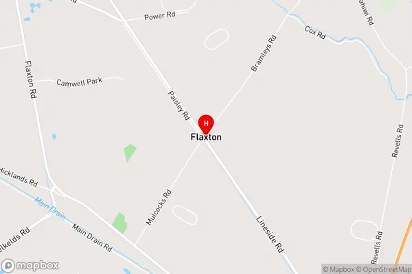
CamsideFlaxton Area Map (Street)
Local Authority
Waimakariri DistrictFull Address
Flaxton, Waimakariri District, New ZealandAddress Type
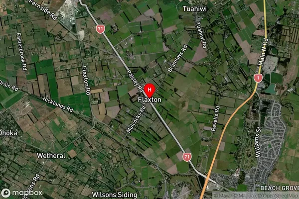
Locality in Town RangioraFlaxton Suburb Map (Satellite)
Country
Main Region in AU
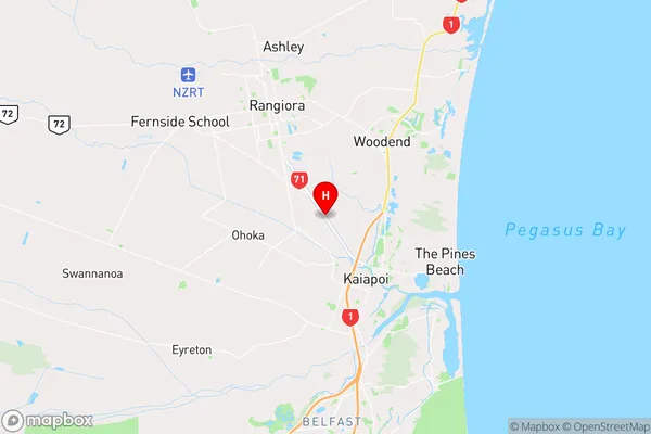
CanterburyFlaxton Region Map
Coordinates
-43.3546878,172.6266289 (latitude/longitude)Distances
The distance from Flaxton, Rangiora, Waimakariri District to NZ Top 10 Cities