Crofton Area, Crofton Postcode(4710) & Map in Crofton
Crofton Area, Crofton Postcode(4710) & Map in Crofton, Rangitikei District, New Zealand
Crofton, Rangitikei District, New Zealand
Crofton Postcodes
Crofton Area (estimated)
0.4 square kilometersCrofton Population (estimated)
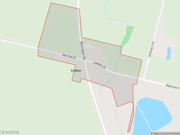
95 people live in Crofton, Manawatu-Wanganui, NZCrofton Suburb Area Map (Polygon)
Crofton Introduction
Crofton is a small rural town in the Manawatu-Wanganui region of New Zealand. It is located on the banks of the Wanganui River, approximately 10 kilometers south of Palmerston North. The town has a population of around 500 people and is known for its historic buildings, including the Crofton Hotel, which was built in 1878. The town also has a primary school and a community hall.Region
Major City
Suburb Name
CroftonOther Name(s)
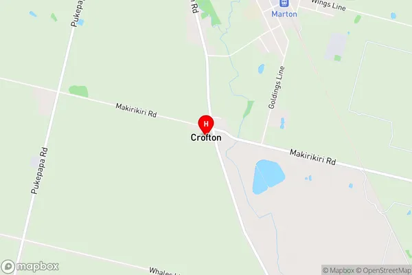
Bonny Glen, Fern Flat, Greatford, Makirikiri South, Porewa, TutaenuiCrofton Area Map (Street)
Local Authority
Rangitikei DistrictFull Address
Crofton, Rangitikei District, New ZealandAddress Type
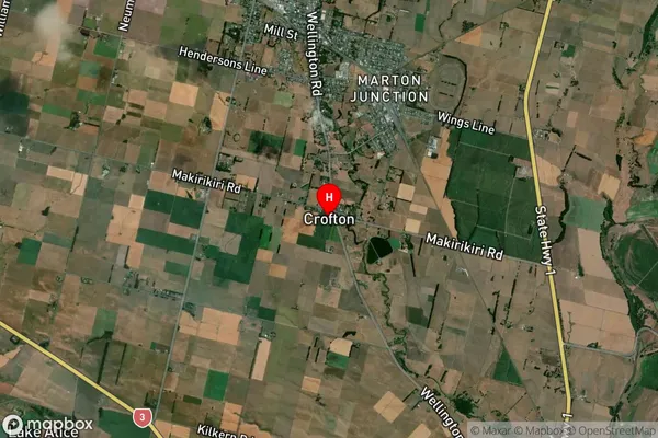
Suburb in Town MartonCrofton Suburb Map (Satellite)
Country
Main Region in AU
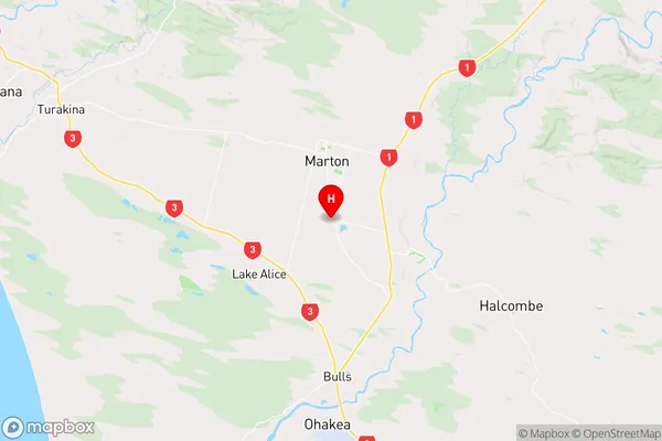
Manawatu-WanganuiCrofton Region Map
Coordinates
-40.1005285,175.3818369 (latitude/longitude)Distances
The distance from Crofton, Marton, Rangitikei District to NZ Top 10 Cities