Richmond Hill Area, Richmond Hill Postcode(8011) & Map in Richmond Hill
Richmond Hill Area, Richmond Hill Postcode(8011) & Map in Richmond Hill, Christchurch City, New Zealand
Richmond Hill, Christchurch City, New Zealand
Richmond Hill Postcodes
Richmond Hill Area (estimated)
0.7 square kilometersRichmond Hill Population (estimated)
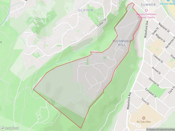
485 people live in Richmond Hill, Linwood-Central-Heathcote Community, NZRichmond Hill Suburb Area Map (Polygon)
Richmond Hill Introduction
Richmond Hill is a suburb of Christchurch, New Zealand, located in the eastern suburbs of the city. It is known for its picturesque streets, historic homes, and vibrant community. The suburb has a population of around 30,000 people and is home to a variety of shops, restaurants, and recreational facilities. It is also well-connected to other parts of the city, with easy access to the motorway and public transport.Region
Major City
Suburb Name
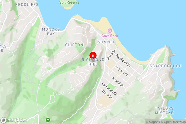
Richmond HillRichmond Hill Area Map (Street)
Local Authority
Christchurch CityFull Address
Richmond Hill, Christchurch City, New ZealandAddress Type
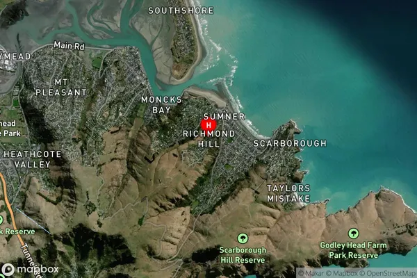
Suburb in City ChristchurchRichmond Hill Suburb Map (Satellite)
Country
Main Region in AU
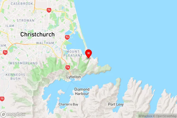
CanterburyRichmond Hill Region Map
Coordinates
-43.5724817,172.7552787 (latitude/longitude)Distances
The distance from Richmond Hill, Christchurch, Christchurch City to NZ Top 10 Cities