Clifton Area, Clifton Postcode(9812) & Map in Clifton
Clifton Area, Clifton Postcode(9812) & Map in Clifton, Christchurch City, New Zealand
Clifton, Christchurch City, New Zealand
Clifton Postcodes
Clifton Area (estimated)
1.0 square kilometersClifton Population (estimated)
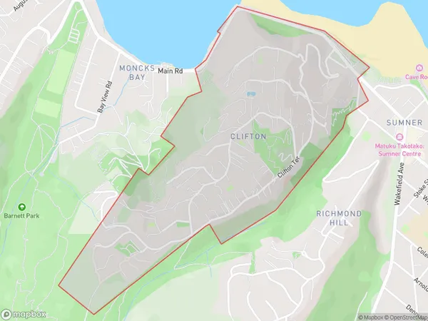
767 people live in Clifton, Linwood-Central-Heathcote Community, NZClifton Suburb Area Map (Polygon)
Clifton Introduction
Clifton is a suburb of Christchurch, New Zealand, located in the eastern suburbs of the city. It is known for its historic homes, leafy streets, and vibrant community. The suburb is home to a variety of shops, restaurants, and recreational facilities, including the Clifton Park Racecourse and the Christchurch Botanic Gardens. Clifton is also well-connected to the rest of the city, with easy access to the motorway and public transport.Region
Major City
Suburb Name
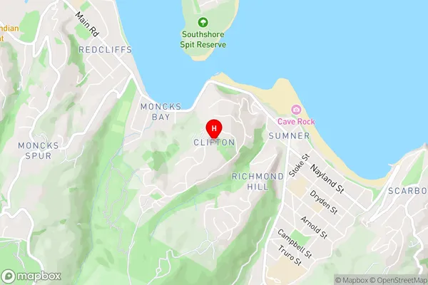
CliftonClifton Area Map (Street)
Local Authority
Christchurch CityFull Address
Clifton, Christchurch City, New ZealandAddress Type
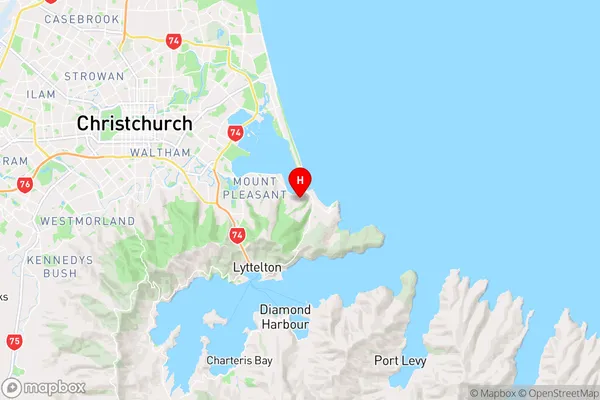
Suburb in City ChristchurchClifton Suburb Map (Satellite)

Country
Main Region in AU
CanterburyClifton Region Map
Coordinates
-43.5690584,172.750042 (latitude/longitude)Distances
The distance from Clifton, Christchurch, Christchurch City to NZ Top 10 Cities