Moncks Bay Area, Moncks Bay Postcode(8011) & Map in Moncks Bay
Moncks Bay Area, Moncks Bay Postcode(8011) & Map in Moncks Bay, Christchurch City, New Zealand
Moncks Bay, Christchurch City, New Zealand
Moncks Bay Postcodes
Moncks Bay Area (estimated)
0.5 square kilometersMoncks Bay Population (estimated)
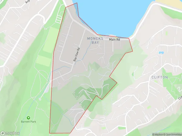
545 people live in Moncks Bay, Linwood-Central-Heathcote Community, NZMoncks Bay Suburb Area Map (Polygon)
Moncks Bay Introduction
Moncks Bay is a suburb of Christchurch, New Zealand, located on the eastern coast of the city's peninsula. It is known for its beaches, parks, and recreational facilities, and is a popular destination for tourists and locals alike. The suburb has a population of around 20,000 people and is situated within the Christchurch Central City District.Region
Major City
Suburb Name
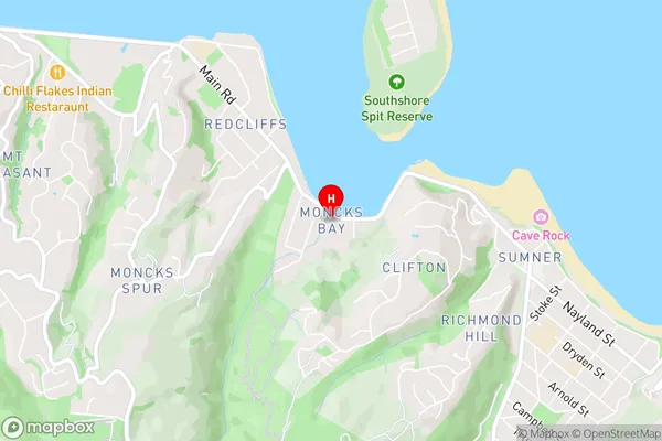
Moncks BayMoncks Bay Area Map (Street)
Local Authority
Christchurch CityFull Address
Moncks Bay, Christchurch City, New ZealandAddress Type
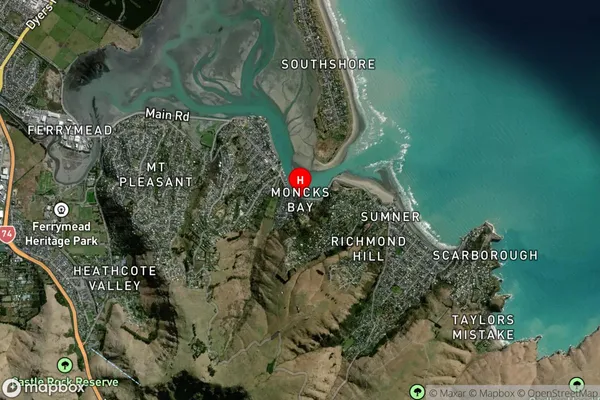
Suburb in City ChristchurchMoncks Bay Suburb Map (Satellite)
Country
Main Region in AU
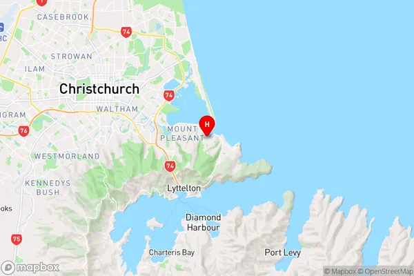
CanterburyMoncks Bay Region Map
Coordinates
-43.566388,172.7436021 (latitude/longitude)Distances
The distance from Moncks Bay, Christchurch, Christchurch City to NZ Top 10 Cities