Te Puna Bay Area, Te Puna Bay Postcode(3010) & Map in Te Puna Bay
Te Puna Bay Area, Te Puna Bay Postcode(3010) & Map in Te Puna Bay, Rotorua District, New Zealand
Te Puna Bay, Rotorua District, New Zealand
Te Puna Bay Postcodes
Te Puna Bay Area (estimated)
0.1 square kilometersTe Puna Bay Population (estimated)
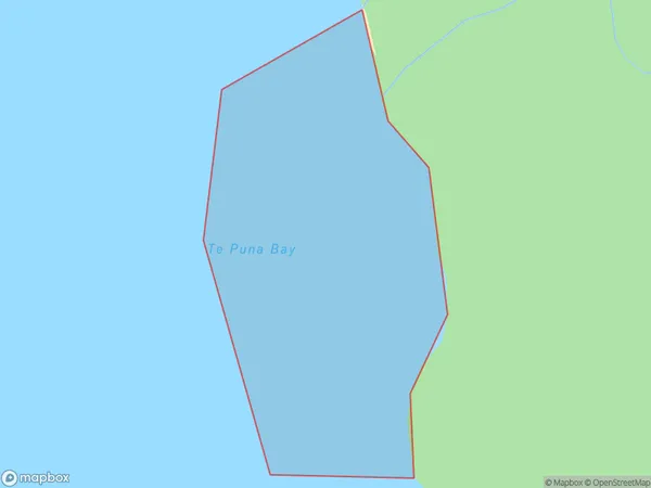
0 people live in Te Puna Bay, Bay of Plenty, NZTe Puna Bay Suburb Area Map (Polygon)
Te Puna Bay Introduction
Te Puna Bay is a popular beach destination in the Bay of Plenty, New Zealand. It is known for its crystal-clear waters, white sand beaches, and stunning coastal scenery. The bay is a popular spot for swimming, snorkeling, and kayaking, and it is also home to a variety of marine life, including dolphins, whales, and seals. Visitors can also enjoy nearby hiking trails, restaurants, and cafes.Region
Suburb Name
Te Puna BayOther Name(s)
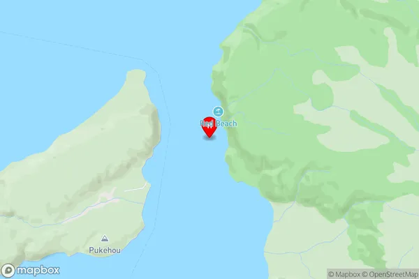
Lake TaraweraTe Puna Bay Area Map (Street)
Local Authority
Rotorua DistrictFull Address
Te Puna Bay, Rotorua District, New ZealandAddress Type
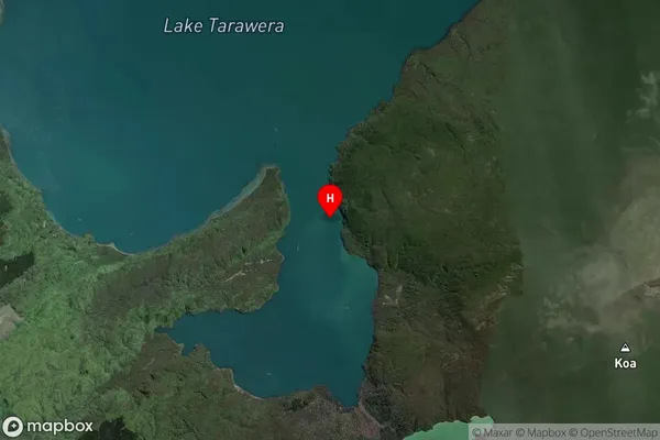
Inland BayTe Puna Bay Suburb Map (Satellite)
Country
Main Region in AU
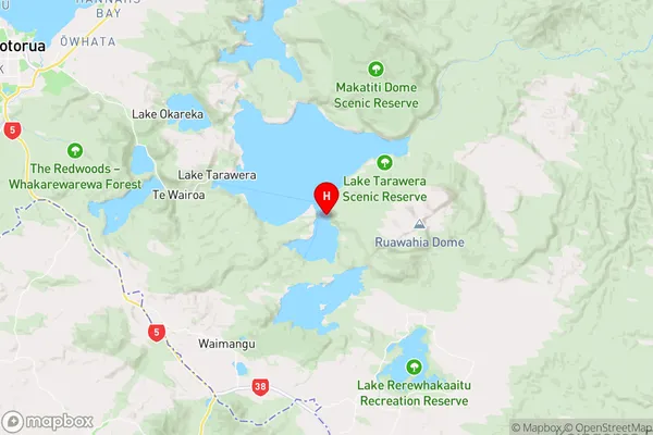
Bay of PlentyTe Puna Bay Region Map
Coordinates
-38.2233928,176.448069 (latitude/longitude)Distances
The distance from Te Puna Bay, , Rotorua District to NZ Top 10 Cities