Kanaehapa Bay Area, Kanaehapa Bay Postcode(3010) & Map in Kanaehapa Bay
Kanaehapa Bay Area, Kanaehapa Bay Postcode(3010) & Map in Kanaehapa Bay, Rotorua District, New Zealand
Kanaehapa Bay, Rotorua District, New Zealand
Kanaehapa Bay Postcodes
Kanaehapa Bay Area (estimated)
0.0 square kilometersKanaehapa Bay Population (estimated)
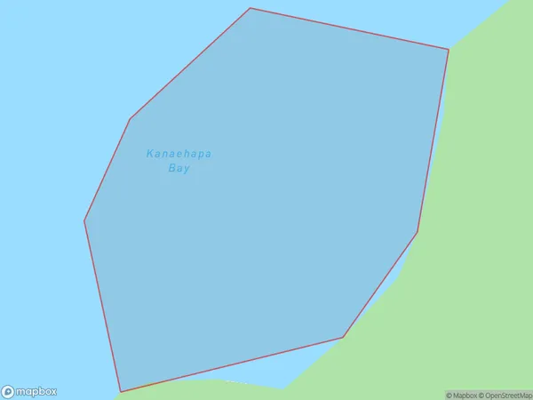
0 people live in Kanaehapa Bay, Bay of Plenty, NZKanaehapa Bay Suburb Area Map (Polygon)
Kanaehapa Bay Introduction
Kanaehapa Bay is a picturesque bay located in the Bay of Plenty, New Zealand. It is known for its stunning turquoise waters, white sandy beaches, and diverse marine life. The bay is a popular spot for swimming, snorkeling, and kayaking, and it is also home to a small community of residents. The bay is surrounded by lush green hills and is located within the Kanaehapa State Forest Park, which offers a range of outdoor activities such as hiking, mountain biking, and hunting.Region
Suburb Name
Kanaehapa BayOther Name(s)
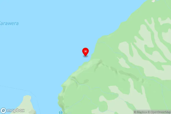
Lake TaraweraKanaehapa Bay Area Map (Street)
Local Authority
Rotorua DistrictFull Address
Kanaehapa Bay, Rotorua District, New ZealandAddress Type
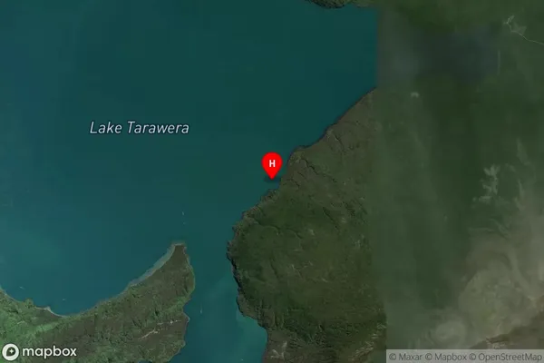
Inland BayKanaehapa Bay Suburb Map (Satellite)
Country
Main Region in AU
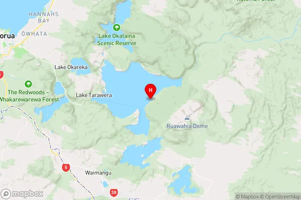
Bay of PlentyKanaehapa Bay Region Map
Coordinates
-38.2075516,176.4566081 (latitude/longitude)Distances
The distance from Kanaehapa Bay, , Rotorua District to NZ Top 10 Cities