Oruaroa Bay Area, Oruaroa Bay Postcode(3010) & Map in Oruaroa Bay
Oruaroa Bay Area, Oruaroa Bay Postcode(3010) & Map in Oruaroa Bay, Rotorua District, New Zealand
Oruaroa Bay, Rotorua District, New Zealand
Oruaroa Bay Postcodes
Oruaroa Bay Area (estimated)
0.1 square kilometersOruaroa Bay Population (estimated)
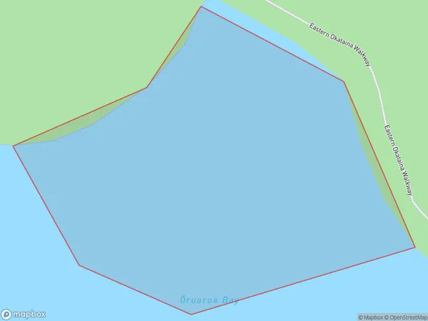
0 people live in Oruaroa Bay, Bay of Plenty, NZOruaroa Bay Suburb Area Map (Polygon)
Oruaroa Bay Introduction
Oruaroa Bay is located in the Bay of Plenty region of New Zealand. It is a popular destination for swimming, boating, and fishing, with a beautiful sandy beach and clear waters. The bay is also home to a small community of residents and a historic lighthouse.Region
Suburb Name
Oruaroa Bay (Maori Name: Ōruaroa Bay)Other Name(s)
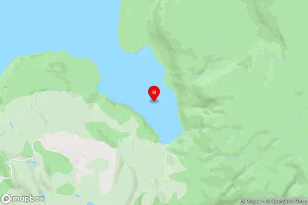
Otangimoana Bay, Lake Okataina / Te Moana i kataina a Te Rangitakaroro (Maori Name: Ōtangimoana Bay, Lake Okataina / Te Moana i kataina a Te Rangitakaroro)Oruaroa Bay Area Map (Street)
Local Authority
Rotorua DistrictFull Address
Oruaroa Bay, Rotorua District, New ZealandAddress Type
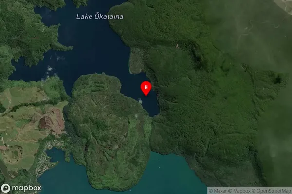
Inland BayOruaroa Bay Suburb Map (Satellite)
Country
Main Region in AU
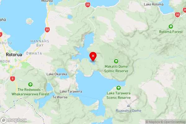
Bay of PlentyOruaroa Bay Region Map
Coordinates
-38.1510394,176.4281253 (latitude/longitude)Distances
The distance from Oruaroa Bay, , Rotorua District to NZ Top 10 Cities