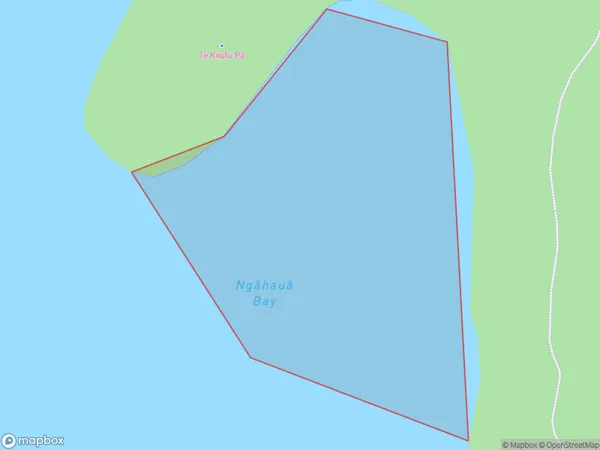
Ngahaua Bay Area, Ngahaua Bay Postcode(3010) & Map in Ngahaua Bay
Ngahaua Bay Area, Ngahaua Bay Postcode(3010) & Map in Ngahaua Bay, Rotorua District, New Zealand
Ngahaua Bay, Rotorua District, New Zealand
Ngahaua Bay Postcodes
Ngahaua Bay Area (estimated)
0.1 square kilometersNgahaua Bay Population (estimated)
0 people live in Ngahaua Bay, Bay of Plenty, NZNgahaua Bay Suburb Area Map (Polygon)
Ngahaua Bay Introduction
Ngahaua Bay is a picturesque beach located in the Bay of Plenty, New Zealand. It is known for its crystal-clear waters, white sand, and stunning coastal views. The bay is a popular spot for swimming, snorkeling, and kayaking, and it is surrounded by lush green hills and native forests. The bay has a peaceful and tranquil atmosphere, making it an ideal place to relax and unwind.Region
Suburb Name
Ngahaua Bay (Maori Name: Ngāhauā Bay)Other Name(s)
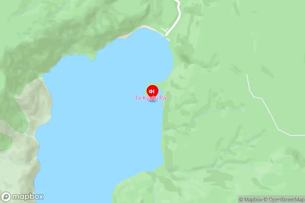
Lake Okataina / Te Moana i kataina a Te Rangitakaroro, Lake Okataina/Te Moana i kataina a Te Rangitakaroro (Maori Name: Lake Okataina / Te Moana i kataina a Te Rangitakaroro, Lake Ōkataina/Te Moana i kataina ā Te Rangitakaroro)Ngahaua Bay Area Map (Street)
Local Authority
Rotorua DistrictFull Address
Ngahaua Bay, Rotorua District, New ZealandAddress Type
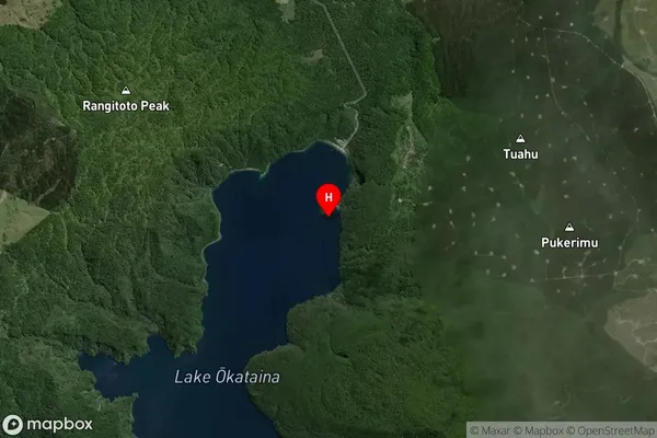
Inland BayNgahaua Bay Suburb Map (Satellite)
Country
Main Region in AU
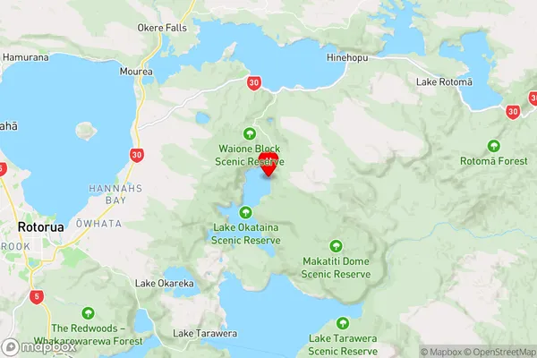
Bay of PlentyNgahaua Bay Region Map
Coordinates
-38.1091584,176.4277044 (latitude/longitude)Distances
The distance from Ngahaua Bay, , Rotorua District to NZ Top 10 Cities