Matahiwi Area, Matahiwi Postcode(4576) & Map in Matahiwi
Matahiwi Area, Matahiwi Postcode(4576) & Map in Matahiwi, Masterton District, New Zealand
Matahiwi, Masterton District, New Zealand
Matahiwi Postcodes
Matahiwi Area (estimated)
34.0 square kilometersMatahiwi Population (estimated)
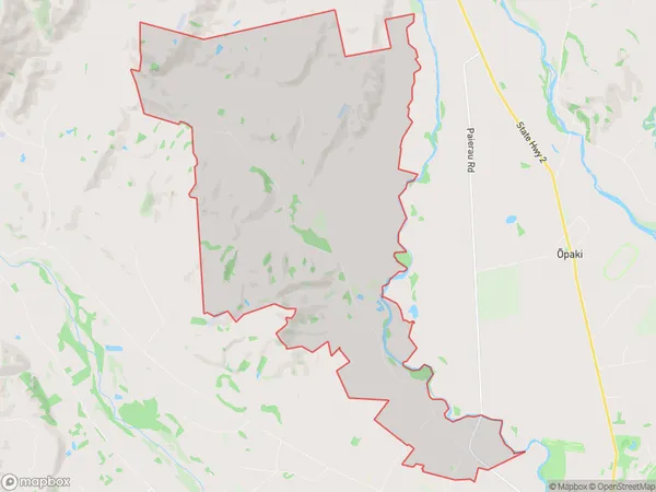
230 people live in Matahiwi, Wellington, NZMatahiwi Suburb Area Map (Polygon)
Matahiwi Introduction
Matahiwi is a small rural community in the Wairarapa region of New Zealand, known for its beautiful countryside and historic buildings. It is located on State Highway 2, approximately 30 minutes south of Masterton and 1 hour north of Wellington. The community has a primary school, a post office, a church, and a few small shops. Matahiwi is surrounded by farmland and has a peaceful, rural atmosphere. It is a popular destination for outdoor activities such as hiking, cycling, and fishing, and is also home to several wineries and olive groves.Region
Major City
Suburb Name
MatahiwiOther Name(s)
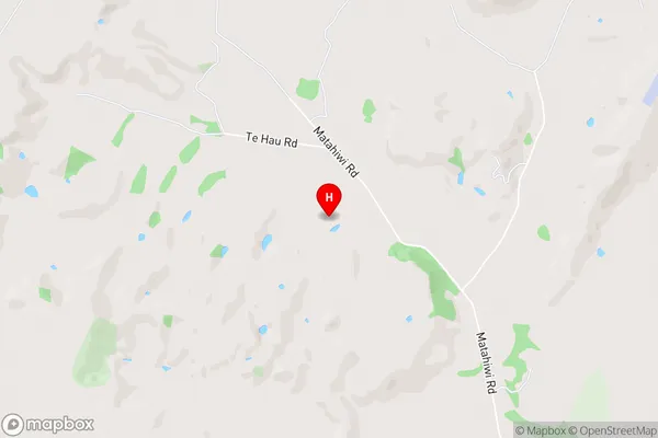
AkuraMatahiwi Area Map (Street)
Local Authority
Masterton DistrictFull Address
Matahiwi, Masterton District, New ZealandAddress Type
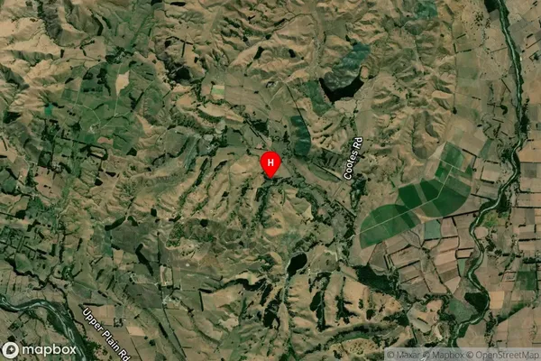
Locality in Town MastertonMatahiwi Suburb Map (Satellite)
Country
Main Region in AU
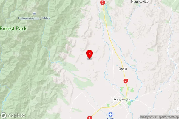
WellingtonMatahiwi Region Map
Coordinates
-40.8786397,175.5848908 (latitude/longitude)Distances
The distance from Matahiwi, Masterton, Masterton District to NZ Top 10 Cities