Otumarokura Bay Area, Otumarokura Bay Postcode(3010) & Map in Otumarokura Bay
Otumarokura Bay Area, Otumarokura Bay Postcode(3010) & Map in Otumarokura Bay, Rotorua District, New Zealand
Otumarokura Bay, Rotorua District, New Zealand
Otumarokura Bay Postcodes
Otumarokura Bay Area (estimated)
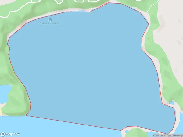
2.9 square kilometersOtumarokura Bay Population (estimated)
0 people live in Otumarokura Bay, Bay of Plenty, NZOtumarokura Bay Suburb Area Map (Polygon)
Otumarokura Bay Introduction
Otumarokura Bay is a small, sheltered bay in the Bay of Plenty, New Zealand. It is known for its clear waters, sandy beaches, and stunning coastal scenery. The bay is a popular destination for swimming, snorkeling, and kayaking, and is home to a variety of marine life, including dolphins, whales, and seals. The bay is also a popular spot for fishing, with a variety of species available to catch, including tuna, kingfish, and mahi-mahi.Region
Suburb Name
Otumarokura Bay (Maori Name: Ōtūmarokura Bay)Other Name(s)
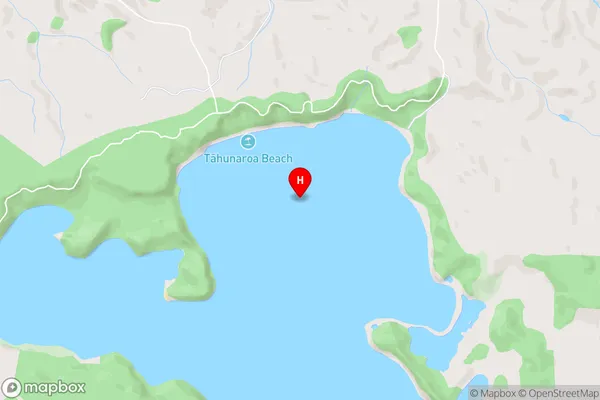
Lake Rotoma (Maori Name: Lake Rotomā)Otumarokura Bay Area Map (Street)
Local Authority
Rotorua DistrictFull Address
Otumarokura Bay, Rotorua District, New ZealandAddress Type
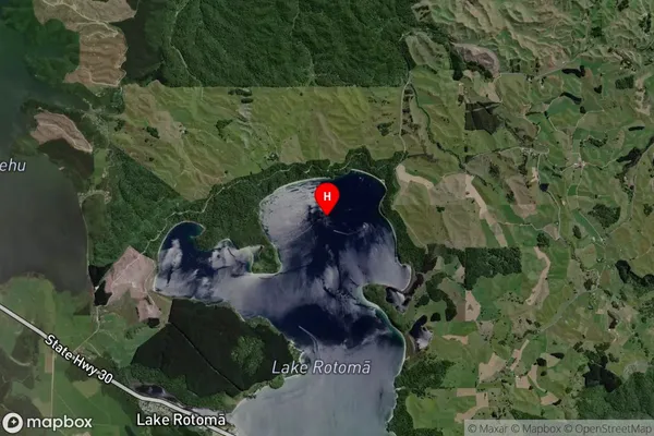
Inland BayOtumarokura Bay Suburb Map (Satellite)
Country
Main Region in AU
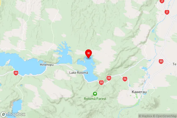
Bay of PlentyOtumarokura Bay Region Map
Coordinates
-38.0254968,176.5854712 (latitude/longitude)Distances
The distance from Otumarokura Bay, , Rotorua District to NZ Top 10 Cities