Whangamarino Bay Area, Whangamarino Bay Postcode(3010) & Map in Whangamarino Bay
Whangamarino Bay Area, Whangamarino Bay Postcode(3010) & Map in Whangamarino Bay, Rotorua District, New Zealand
Whangamarino Bay, Rotorua District, New Zealand
Whangamarino Bay Postcodes
Whangamarino Bay Area (estimated)
0.0 square kilometersWhangamarino Bay Population (estimated)
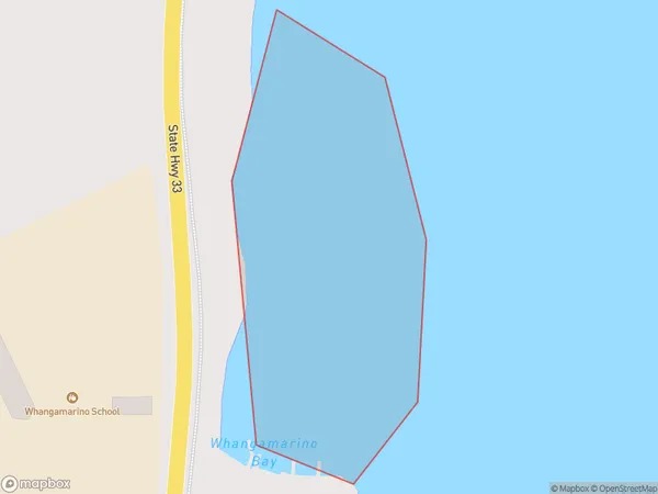
0 people live in Whangamarino Bay, Bay of Plenty, NZWhangamarino Bay Suburb Area Map (Polygon)
Whangamarino Bay Introduction
Whangamarino Bay is a popular beach destination in the Bay of Plenty, New Zealand. It is known for its clear waters, white sand beaches, and stunning coastal scenery. The bay is surrounded by native forests and has a variety of recreational activities, including swimming, snorkeling, and fishing. It is also a popular spot for camping and hiking.Region
Suburb Name
Whangamarino BayOther Name(s)
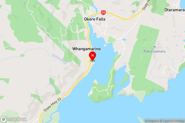
Okere Inlet, Lake Rotoiti / Te Roto kite a Ihenga i ariki ai Kahu (Maori Name: Ōkere Inlet, Lake Rotoiti / Te Roto kite a Ihenga i ariki ai Kahu)Whangamarino Bay Area Map (Street)
Local Authority
Rotorua DistrictFull Address
Whangamarino Bay, Rotorua District, New ZealandAddress Type
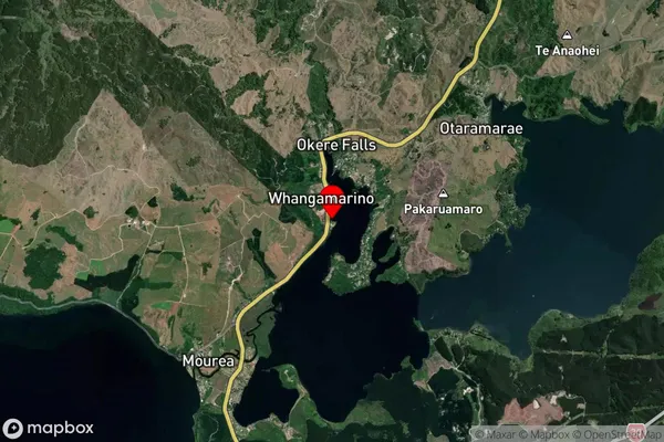
Inland BayWhangamarino Bay Suburb Map (Satellite)
Country
Main Region in AU
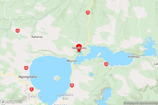
Bay of PlentyWhangamarino Bay Region Map
Coordinates
-38.0270978,176.3453848 (latitude/longitude)Distances
The distance from Whangamarino Bay, , Rotorua District to NZ Top 10 Cities