Te Ruato Bay Area, Te Ruato Bay Postcode(3074) & Map in Te Ruato Bay
Te Ruato Bay Area, Te Ruato Bay Postcode(3074) & Map in Te Ruato Bay, Rotorua District, New Zealand
Te Ruato Bay, Rotorua District, New Zealand
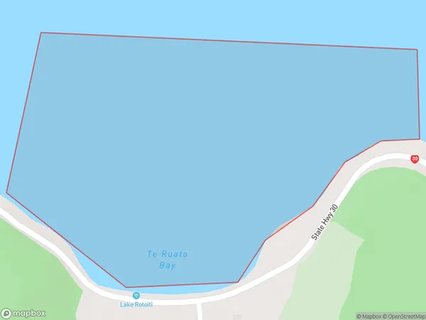
Te Ruato Bay Postcodes
Te Ruato Bay Area (estimated)
0.7 square kilometersTe Ruato Bay Population (estimated)
0 people live in Te Ruato Bay, Bay of Plenty, NZTe Ruato Bay Suburb Area Map (Polygon)
Te Ruato Bay Introduction
Te Ruato Bay is a picturesque bay located in the Bay of Plenty, New Zealand. It is known for its clear waters, stunning coastal scenery, and diverse marine life. The bay is a popular spot for swimming, snorkeling, and kayaking, and it is also home to a small community of residents. The bay is surrounded by lush green hills and is located within the Te Ruato Marine Reserve, which is a protected area that offers a range of recreational activities.Region
Suburb Name
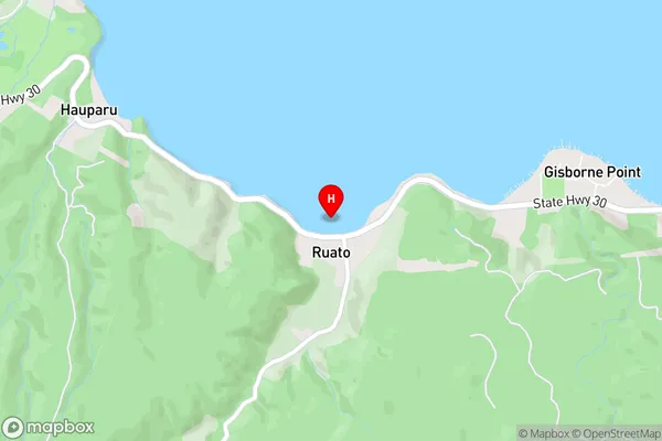
Te Ruato BayOther Name(s)
Lake Rotoiti / Te Roto kite a Ihenga i ariki ai Kahu, Lake RotoitiTe Ruato Bay Area Map (Street)
Local Authority
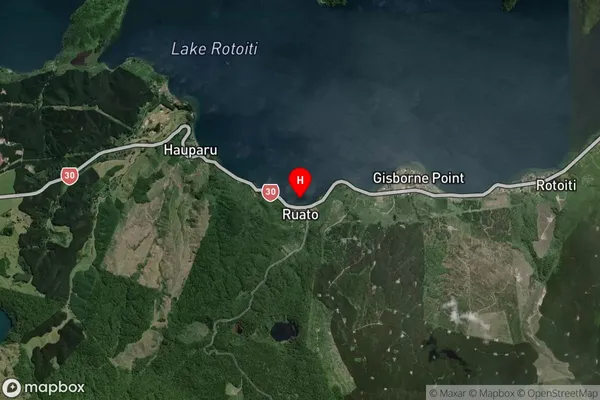
Rotorua DistrictFull Address
Te Ruato Bay, Rotorua District, New ZealandAddress Type
Inland BayTe Ruato Bay Suburb Map (Satellite)
Country
Main Region in AU
Bay of PlentyTe Ruato Bay Region Map

Coordinates
-38.0562662,176.432118 (latitude/longitude)Distances
The distance from Te Ruato Bay, , Rotorua District to NZ Top 10 Cities