Tauarau Bay Area, Tauarau Bay Postcode(3074) & Map in Tauarau Bay
Tauarau Bay Area, Tauarau Bay Postcode(3074) & Map in Tauarau Bay, Rotorua District, New Zealand
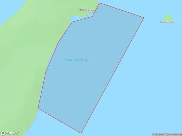
Tauarau Bay, Rotorua District, New Zealand
Tauarau Bay Postcodes
Tauarau Bay Area (estimated)
0.3 square kilometersTauarau Bay Population (estimated)
0 people live in Tauarau Bay, Bay of Plenty, NZTauarau Bay Suburb Area Map (Polygon)
Tauarau Bay Introduction
Tauarau Bay is a popular beach destination in the Bay of Plenty, New Zealand. It is known for its clear waters, white sand, and stunning sunsets. The bay is also a popular spot for water sports such as surfing, kayaking, and paddleboarding. Tauarau Bay is located about 30 minutes' drive from the town of Tauranga and is easily accessible by car. There are several parking areas and picnic spots along the beach, and there are also several restaurants and cafes nearby.Region
Suburb Name
Tauarau BayOther Name(s)
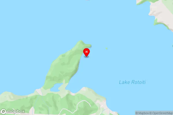
Lake Rotoiti / Te Roto kite a Ihenga i ariki ai Kahu, Lake RotoitiTauarau Bay Area Map (Street)
Local Authority
Rotorua DistrictFull Address
Tauarau Bay, Rotorua District, New ZealandAddress Type
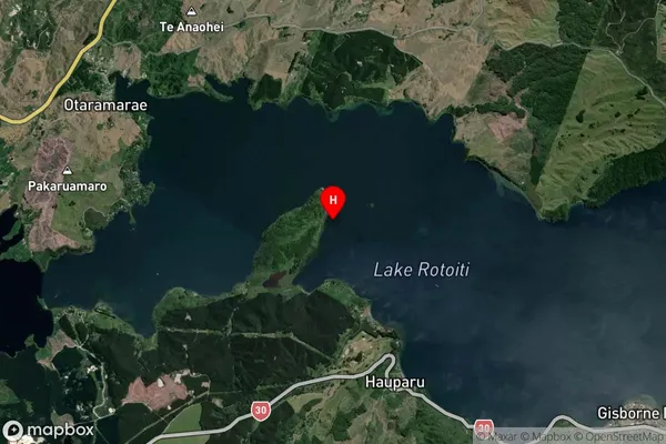
Inland BayTauarau Bay Suburb Map (Satellite)
Country
Main Region in AU
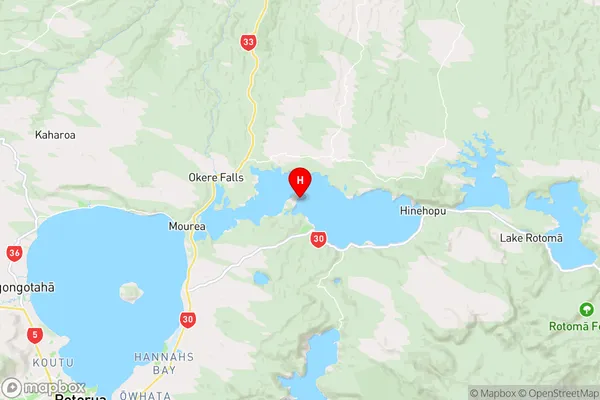
Bay of PlentyTauarau Bay Region Map
Coordinates
-38.030011,176.4037271 (latitude/longitude)Distances
The distance from Tauarau Bay, , Rotorua District to NZ Top 10 Cities