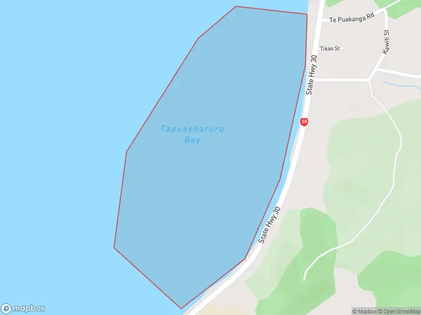
Tapuaeharuru Bay Area, Tapuaeharuru Bay Postcode(3010) & Map in Tapuaeharuru Bay
Tapuaeharuru Bay Area, Tapuaeharuru Bay Postcode(3010) & Map in Tapuaeharuru Bay, Rotorua District, New Zealand
Tapuaeharuru Bay, Rotorua District, New Zealand
Tapuaeharuru Bay Postcodes
Tapuaeharuru Bay Area (estimated)
0.4 square kilometersTapuaeharuru Bay Population (estimated)
0 people live in Tapuaeharuru Bay, Bay of Plenty, NZTapuaeharuru Bay Suburb Area Map (Polygon)
Tapuaeharuru Bay Introduction
Tapuaeharuru Bay is located in the Bay of Plenty region of New Zealand. It is a popular spot for swimming, fishing, and kayaking due to its clear waters and stunning coastal scenery. The bay is also home to a small community of people who live in traditional Māori dwellings. The bay has a rich cultural and historical significance to the local Māori people, who have lived in the area for centuries.Region
Suburb Name
Tapuaeharuru BayOther Name(s)
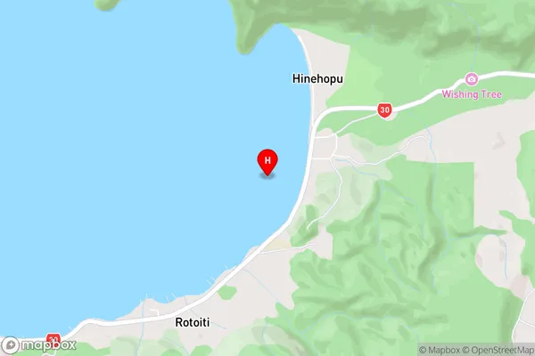
Lake Rotoiti / Te Roto kite a Ihenga i ariki ai Kahu, Lake RotoitiTapuaeharuru Bay Area Map (Street)
Local Authority
Rotorua DistrictFull Address
Tapuaeharuru Bay, Rotorua District, New ZealandAddress Type
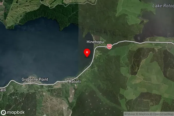
Inland BayTapuaeharuru Bay Suburb Map (Satellite)
Country
Main Region in AU
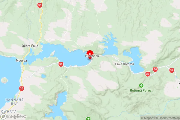
Bay of PlentyTapuaeharuru Bay Region Map
Coordinates
-38.0433195,176.4833103 (latitude/longitude)Distances
The distance from Tapuaeharuru Bay, , Rotorua District to NZ Top 10 Cities