Pounamunui Bay Area, Pounamunui Bay Postcode(3074) & Map in Pounamunui Bay
Pounamunui Bay Area, Pounamunui Bay Postcode(3074) & Map in Pounamunui Bay, Rotorua District, New Zealand
Pounamunui Bay, Rotorua District, New Zealand
Pounamunui Bay Postcodes
Pounamunui Bay Area (estimated)
0.0 square kilometersPounamunui Bay Population (estimated)
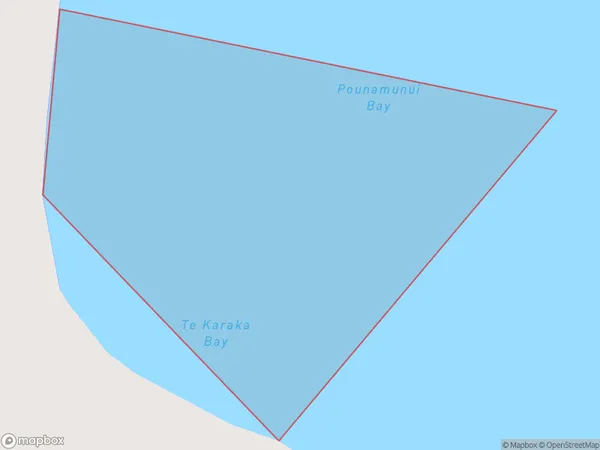
0 people live in Pounamunui Bay, Bay of Plenty, NZPounamunui Bay Suburb Area Map (Polygon)
Pounamunui Bay Introduction
Pounamunui Bay is a sheltered bay on the eastern coast of the Bay of Plenty, New Zealand. It is known for its crystal-clear waters, white sandy beaches, and stunning coastal scenery. The bay is a popular destination for swimming, snorkeling, and fishing, and is home to a variety of marine life, including dolphins, whales, and seals. Pounamunui Bay is also a popular filming location, with several movies and TV shows having been shot in the area.Region
Suburb Name
Pounamunui BayOther Name(s)
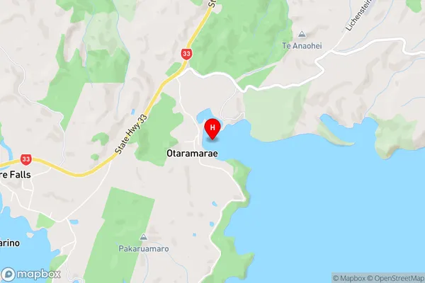
Te Karaka Bay, Lake Rotoiti / Te Roto kite a Ihenga i ariki ai KahuPounamunui Bay Area Map (Street)
Local Authority
Rotorua DistrictFull Address
Pounamunui Bay, Rotorua District, New ZealandAddress Type
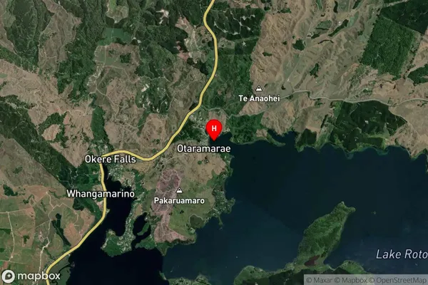
Inland BayPounamunui Bay Suburb Map (Satellite)
Country
Main Region in AU
Bay of PlentyPounamunui Bay Region Map

Coordinates
-38.014614,176.3710073 (latitude/longitude)Distances
The distance from Pounamunui Bay, , Rotorua District to NZ Top 10 Cities