Onepoto Bay Area, Onepoto Bay Postcode(3074) & Map in Onepoto Bay
Onepoto Bay Area, Onepoto Bay Postcode(3074) & Map in Onepoto Bay, Rotorua District, New Zealand
Onepoto Bay, Rotorua District, New Zealand
Onepoto Bay Postcodes
Onepoto Bay Area (estimated)
0.1 square kilometersOnepoto Bay Population (estimated)
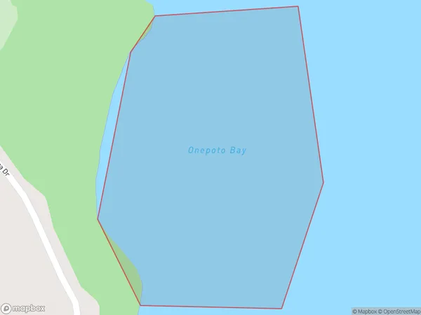
0 people live in Onepoto Bay, Bay of Plenty, NZOnepoto Bay Suburb Area Map (Polygon)
Onepoto Bay Introduction
Onepoto Bay is a picturesque beach located in the Bay of Plenty, New Zealand. It is known for its crystal-clear waters, white sand, and stunning coastal views. The bay is a popular spot for swimming, snorkeling, and kayaking, and it is surrounded by lush green hills and picturesque farmland. The bay has a rich history and was once home to a Māori village. It is also a popular filming location, with several movies and TV shows having been shot in the area.Region
Suburb Name
Onepoto BayOther Name(s)
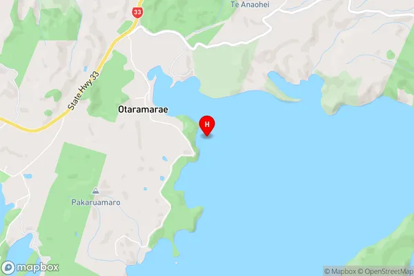
Lake Rotoiti / Te Roto kite a Ihenga i ariki ai Kahu, Lake RotoitiOnepoto Bay Area Map (Street)
Local Authority
Rotorua DistrictFull Address
Onepoto Bay, Rotorua District, New ZealandAddress Type
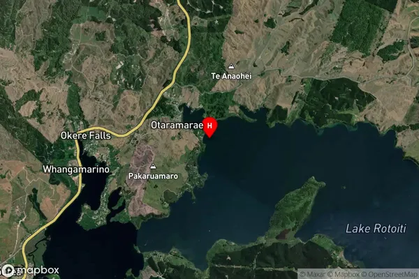
Inland BayOnepoto Bay Suburb Map (Satellite)
Country
Main Region in AU
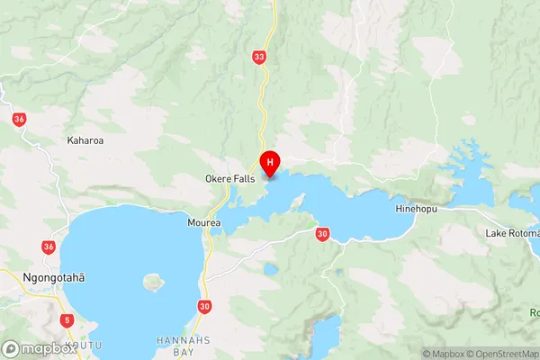
Bay of PlentyOnepoto Bay Region Map
Coordinates
-38.0185529,176.376504 (latitude/longitude)Distances
The distance from Onepoto Bay, , Rotorua District to NZ Top 10 Cities