Okahutoroa Bay Area, Okahutoroa Bay Postcode(3074) & Map in Okahutoroa Bay
Okahutoroa Bay Area, Okahutoroa Bay Postcode(3074) & Map in Okahutoroa Bay, Rotorua District, New Zealand
Okahutoroa Bay, Rotorua District, New Zealand
Okahutoroa Bay Postcodes
Okahutoroa Bay Area (estimated)
0.3 square kilometersOkahutoroa Bay Population (estimated)
0 people live in Okahutoroa Bay, Bay of Plenty, NZOkahutoroa Bay Suburb Area Map (Polygon)
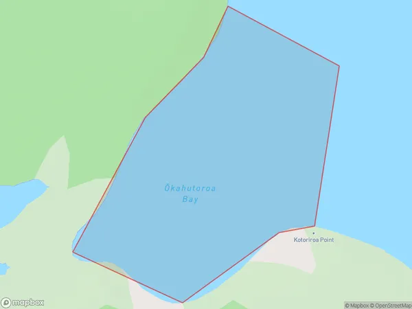
Okahutoroa Bay Introduction
Located in the Bay of Plenty region of New Zealand, Okahutoroa Bay is a popular destination for water activities such as swimming, snorkeling, and kayaking. It is also known for its stunning coastal scenery, including white sand beaches, rugged cliffs, and lush green forests. The bay is home to a variety of marine life, including dolphins, whales, and seals, and is a protected area under the New Zealand Department of Conservation.Region
Suburb Name
Okahutoroa Bay (Maori Name: Ōkahutoroa Bay)Other Name(s)
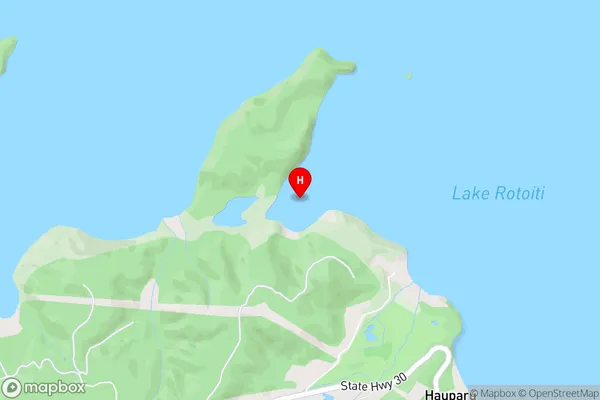
Lake Rotoiti / Te Roto kite a Ihenga i ariki ai Kahu, Lake RotoitiOkahutoroa Bay Area Map (Street)
Local Authority
Rotorua DistrictFull Address
Okahutoroa Bay, Rotorua District, New ZealandAddress Type
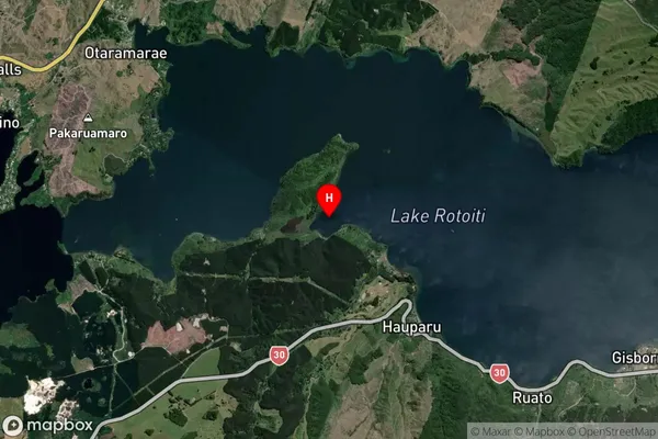
Inland BayOkahutoroa Bay Suburb Map (Satellite)
Country
Main Region in AU
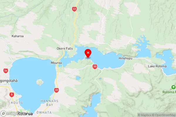
Bay of PlentyOkahutoroa Bay Region Map
Coordinates
-38.0362665,176.4003577 (latitude/longitude)Distances
The distance from Okahutoroa Bay, , Rotorua District to NZ Top 10 Cities