Manupirua Bay Area, Manupirua Bay Postcode(3074) & Map in Manupirua Bay
Manupirua Bay Area, Manupirua Bay Postcode(3074) & Map in Manupirua Bay, Rotorua District, New Zealand
Manupirua Bay, Rotorua District, New Zealand
Manupirua Bay Postcodes
Manupirua Bay Area (estimated)
0.4 square kilometersManupirua Bay Population (estimated)
0 people live in Manupirua Bay, Bay of Plenty, NZManupirua Bay Suburb Area Map (Polygon)
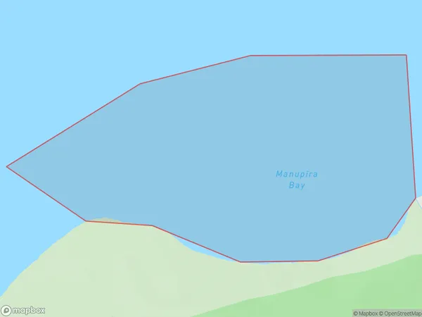
Manupirua Bay Introduction
Manupirua Bay is a popular beach destination in the Bay of Plenty, New Zealand. It is known for its crystal-clear waters, white sand beaches, and stunning coastal scenery. The bay is surrounded by native forests and offers a range of recreational activities, including swimming, snorkeling, kayaking, and fishing. There are also several campgrounds and holiday parks in the area, making it a popular spot for families and outdoor enthusiasts.Region
Suburb Name
Manupirua Bay (Maori Name: Manupīrua Bay)Other Name(s)
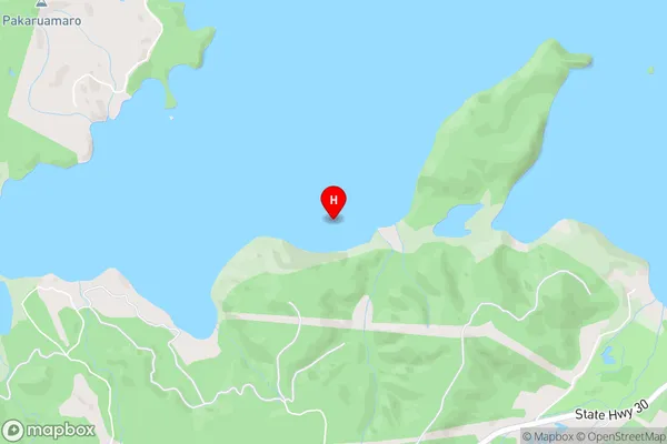
Lake Rotoiti / Te Roto kite a Ihenga i ariki ai Kahu, Lake RotoitiManupirua Bay Area Map (Street)
Local Authority
Rotorua DistrictFull Address
Manupirua Bay, Rotorua District, New ZealandAddress Type
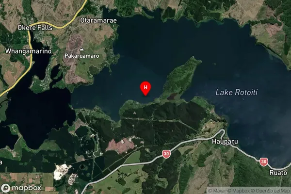
Inland BayManupirua Bay Suburb Map (Satellite)
Country
Main Region in AU
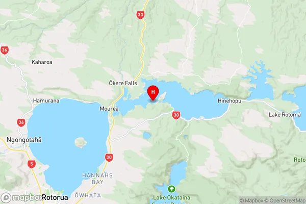
Bay of PlentyManupirua Bay Region Map
Coordinates
-38.0371242,176.3851957 (latitude/longitude)Distances
The distance from Manupirua Bay, , Rotorua District to NZ Top 10 Cities