Matahiwi Area, Matahiwi Postcode(4576) & Map in Matahiwi
Matahiwi Area, Matahiwi Postcode(4576) & Map in Matahiwi, Whanganui District, New Zealand
Matahiwi, Whanganui District, New Zealand
Matahiwi Postcodes
Matahiwi Area (estimated)
-1.2 square kilometersMatahiwi Population (estimated)
53 people live in Matahiwi, Manawatu-Wanganui, NZMatahiwi Suburb Area Map (Polygon)
Not available for nowMatahiwi Introduction
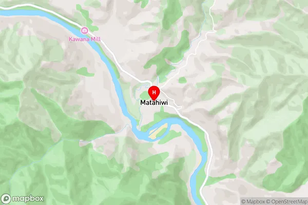
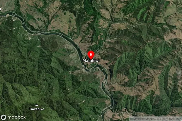
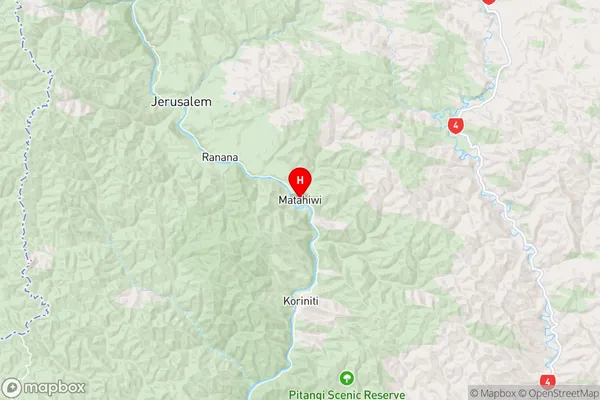
Matahiwi is a small rural community located in the Manawatu-Wanganui region of New Zealand. It is situated on the banks of the Whanganui River and is known for its stunning natural scenery, including rolling hills, lush forests, and picturesque farmland. The community has a strong sense of community and is home to a variety of cultural and recreational facilities, including a golf course, a sports complex, and a community hall. Matahiwi is also home to a number of historic buildings, including the Matahiwi Church, which was built in 1878.Region
Major City
Suburb Name
MatahiwiOther Name(s)
Koriniti Pa, Operiki PaMatahiwi Area Map (Street)
Local Authority
Whanganui DistrictFull Address
Matahiwi, Whanganui District, New ZealandAddress Type
Locality in Town WhanganuiMatahiwi Suburb Map (Satellite)
Country
Main Region in AU
Manawatu-WanganuiMatahiwi Region Map
Coordinates
-39.6056872,175.1608336 (latitude/longitude)Distances
The distance from Matahiwi, Whanganui, Whanganui District to NZ Top 10 Cities