Te Matawera Bay Area, Te Matawera Bay Postcode(3042) & Map in Te Matawera Bay
Te Matawera Bay Area, Te Matawera Bay Postcode(3042) & Map in Te Matawera Bay, Rotorua District, New Zealand
Te Matawera Bay, Rotorua District, New Zealand
Te Matawera Bay Postcodes
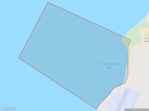
Te Matawera Bay Area (estimated)
0.7 square kilometersTe Matawera Bay Population (estimated)
0 people live in Te Matawera Bay, Rotorua, NZTe Matawera Bay Suburb Area Map (Polygon)
Te Matawera Bay Introduction
Te Matawera Bay is a popular holiday destination in the Bay of Plenty, New Zealand. It is known for its clear waters, sandy beaches, and stunning coastal scenery. The bay is also home to a variety of marine life, including dolphins, whales, and seals. Visitors can enjoy swimming, snorkeling, kayaking, and fishing in the bay, or simply relax on the beach and soak up the sun. The bay is also a popular filming location, with several movies and TV shows having been shot there over the years.Region
Major City
Suburb Name
Te Matawera BayOther Name(s)
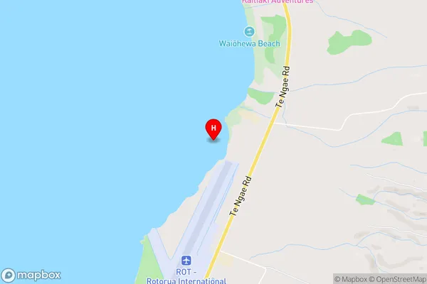
Lake Rotorua / Te Rotorua nui a Kahumatamomoe, Lake RotoruaTe Matawera Bay Area Map (Street)
Local Authority
Rotorua DistrictFull Address
Te Matawera Bay, Rotorua District, New ZealandAddress Type
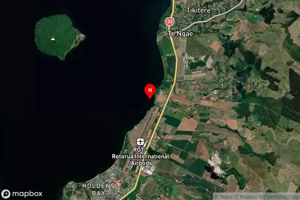
Inland BayTe Matawera Bay Suburb Map (Satellite)
Country
Main Region in AU
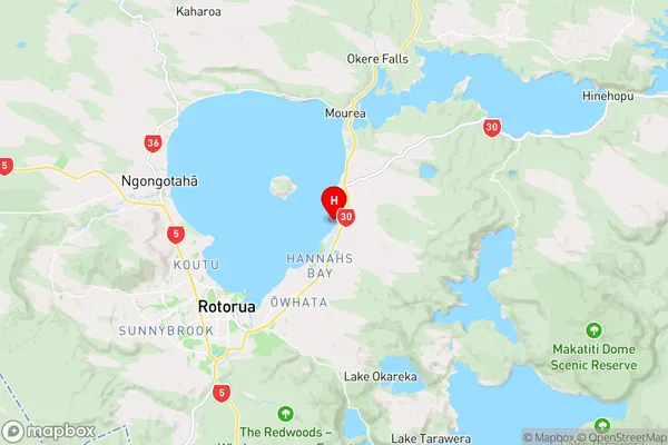
Bay of PlentyTe Matawera Bay Region Map
Coordinates
-38.0973361,176.3191731 (latitude/longitude)Distances
The distance from Te Matawera Bay, , Rotorua District to NZ Top 10 Cities