Te Karamuramu Bay Area, Te Karamuramu Bay Postcode(3042) & Map in Te Karamuramu Bay
Te Karamuramu Bay Area, Te Karamuramu Bay Postcode(3042) & Map in Te Karamuramu Bay, Rotorua District, New Zealand
Te Karamuramu Bay, Rotorua District, New Zealand
Te Karamuramu Bay Postcodes
Te Karamuramu Bay Area (estimated)
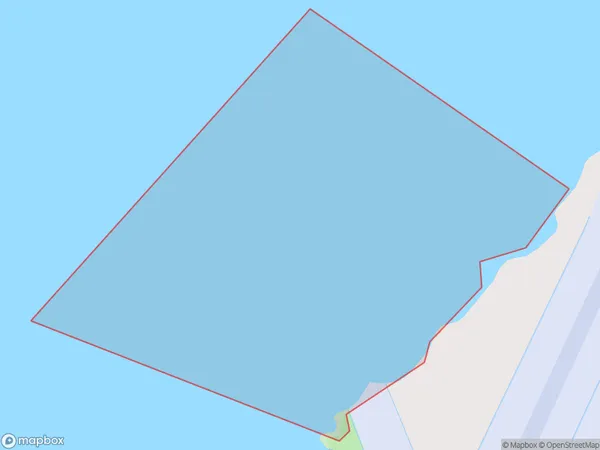
1.0 square kilometersTe Karamuramu Bay Population (estimated)
0 people live in Te Karamuramu Bay, Rotorua, NZTe Karamuramu Bay Suburb Area Map (Polygon)
Te Karamuramu Bay Introduction
Te Karamuramu Bay is a picturesque beach located in the Bay of Plenty, New Zealand. It is known for its crystal-clear waters, white sand, and stunning coastal scenery. The bay is a popular spot for swimming, snorkeling, and kayaking, and it is surrounded by native forests and farmland. The bay has a rich cultural history, with evidence of early Māori settlement and European exploration. It is also home to a variety of wildlife, including sea birds, dolphins, and whales.Region
Major City
Suburb Name
Te Karamuramu Bay (Maori Name: Te Kāramuramu Bay)Other Name(s)
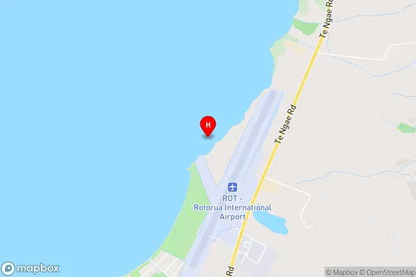
Lake Rotorua / Te Rotorua nui a Kahumatamomoe, Lake RotoruaTe Karamuramu Bay Area Map (Street)
Local Authority
Rotorua DistrictFull Address
Te Karamuramu Bay, Rotorua District, New ZealandAddress Type
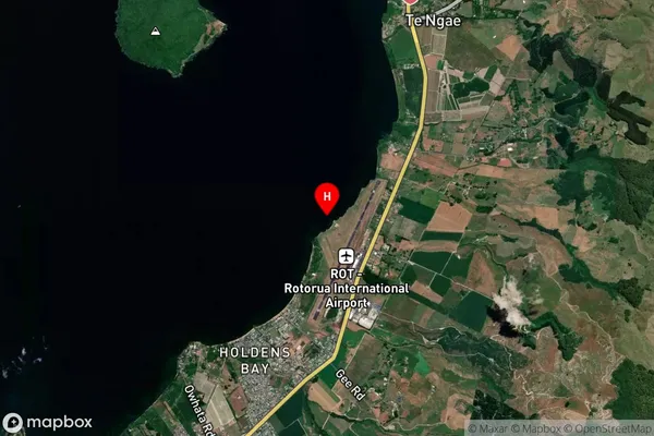
Inland BayTe Karamuramu Bay Suburb Map (Satellite)
Country
Main Region in AU
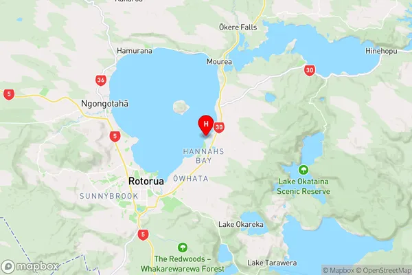
Bay of PlentyTe Karamuramu Bay Region Map
Coordinates
-38.103866,176.312856 (latitude/longitude)Distances
The distance from Te Karamuramu Bay, , Rotorua District to NZ Top 10 Cities