Kaikaitahuna Bay Area, Kaikaitahuna Bay Postcode(3010) & Map in Kaikaitahuna Bay
Kaikaitahuna Bay Area, Kaikaitahuna Bay Postcode(3010) & Map in Kaikaitahuna Bay, Rotorua District, New Zealand
Kaikaitahuna Bay, Rotorua District, New Zealand
Kaikaitahuna Bay Postcodes
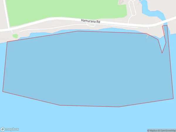
Kaikaitahuna Bay Area (estimated)
0.3 square kilometersKaikaitahuna Bay Population (estimated)
0 people live in Kaikaitahuna Bay, Bay of Plenty, NZKaikaitahuna Bay Suburb Area Map (Polygon)
Kaikaitahuna Bay Introduction
Kaikaitahuna Bay is a picturesque bay located in the Bay of Plenty, New Zealand. It is known for its clear waters, sandy beaches, and stunning coastal scenery. The bay is a popular spot for swimming, snorkeling, and kayaking, and it is home to a variety of marine life, including dolphins, whales, and seals. The bay is also surrounded by lush green hills and picturesque farmland, making it a popular destination for nature lovers and outdoor enthusiasts.Region
Suburb Name
Kaikaitahuna Bay (Maori Name: Kaikaitāhuna Bay)Other Name(s)
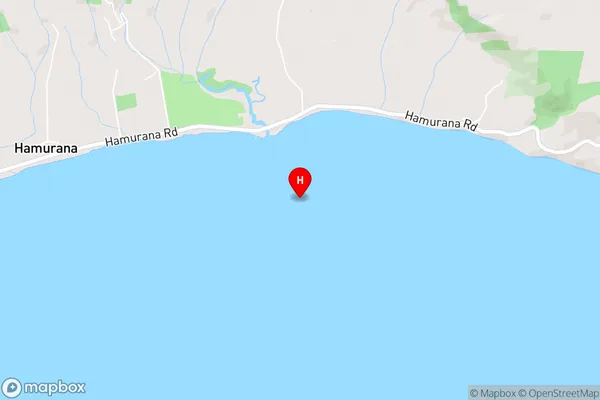
Lake Rotorua / Te Rotorua nui a Kahumatamomoe, Lake RotoruaKaikaitahuna Bay Area Map (Street)
Local Authority
Rotorua DistrictFull Address
Kaikaitahuna Bay, Rotorua District, New ZealandAddress Type
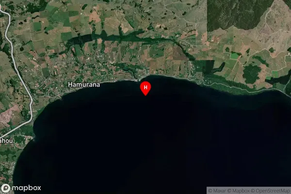
Inland BayKaikaitahuna Bay Suburb Map (Satellite)
Country
Main Region in AU
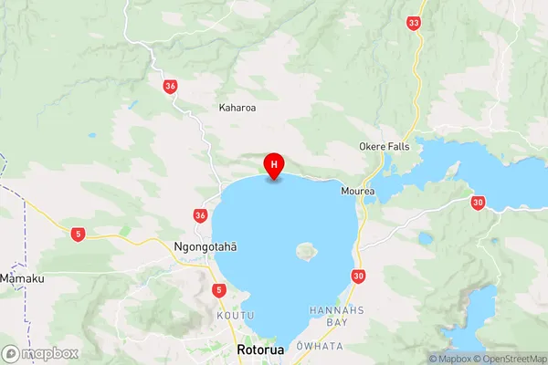
Bay of PlentyKaikaitahuna Bay Region Map
Coordinates
-38.0391252,176.2631313 (latitude/longitude)Distances
The distance from Kaikaitahuna Bay, , Rotorua District to NZ Top 10 Cities