Waddington Area, Waddington Postcode(7500) & Map in Waddington
Waddington Area, Waddington Postcode(7500) & Map in Waddington, Selwyn District, New Zealand
Waddington, Selwyn District, New Zealand
Waddington Postcodes
Waddington Area (estimated)
0.2 square kilometersWaddington Population (estimated)
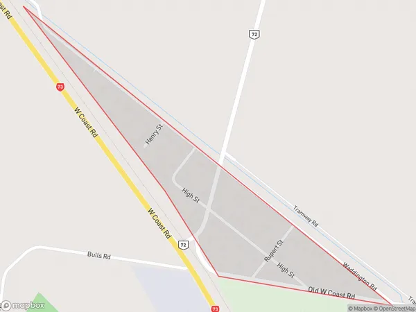
140 people live in Waddington, Canterbury, NZWaddington Suburb Area Map (Polygon)
Waddington Introduction
Waddington is a small rural town in Canterbury, New Zealand, located on the banks of the Waimakariri River. It is known for its picturesque rural scenery, historic buildings, and vibrant community. The town has a population of around 3,000 people and is home to a variety of businesses and services, including a supermarket, pharmacy, hotel, and several cafes and restaurants. Waddington is also a popular destination for outdoor enthusiasts, with numerous hiking and cycling trails nearby. The town is surrounded by farmland and has a peaceful and tranquil atmosphere.Region
0Suburb Name
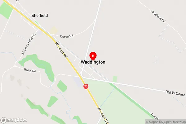
WaddingtonWaddington Area Map (Street)
Local Authority
Selwyn DistrictFull Address
Waddington, Selwyn District, New ZealandAddress Type
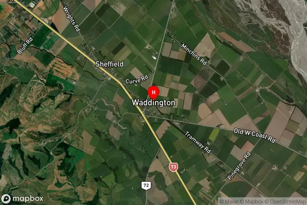
Suburb in Major Locality WaddingtonWaddington Suburb Map (Satellite)
Country
Main Region in AU
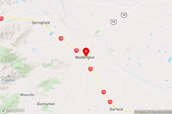
CanterburyWaddington Region Map
Coordinates
-43.3968297,172.0363049 (latitude/longitude)Distances
The distance from Waddington, Waddington, Selwyn District to NZ Top 10 Cities