Cracroft Area, Cracroft Postcode(8024) & Map in Cracroft
Cracroft Area, Cracroft Postcode(8024) & Map in Cracroft, Christchurch City, New Zealand
Cracroft, Christchurch City, New Zealand
Cracroft Postcodes
Cracroft Area (estimated)
3.3 square kilometersCracroft Population (estimated)
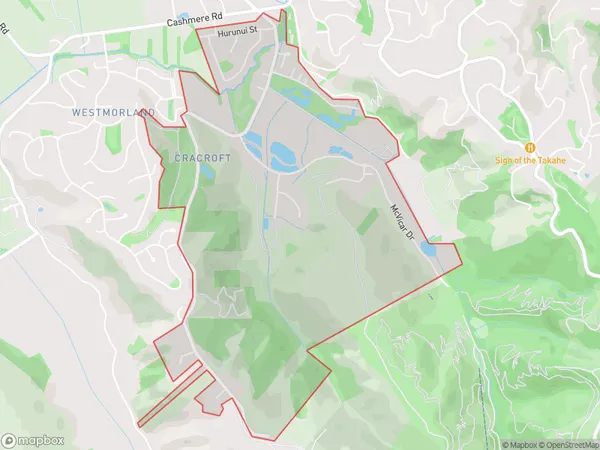
778 people live in Cracroft, Spreydon-Cashmere Community, NZCracroft Suburb Area Map (Polygon)
Cracroft Introduction
Cracroft is a suburb of Christchurch, New Zealand, located in the eastern suburbs of the city. It is known for its picturesque homes, tranquil gardens, and convenient location, with easy access to the city center and surrounding areas. The suburb has a strong community spirit and is home to a variety of recreational facilities, including parks, sports clubs, and libraries.Region
Major City
Suburb Name
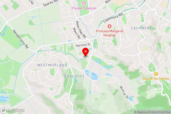
CracroftCracroft Area Map (Street)
Local Authority
Christchurch CityFull Address
Cracroft, Christchurch City, New ZealandAddress Type
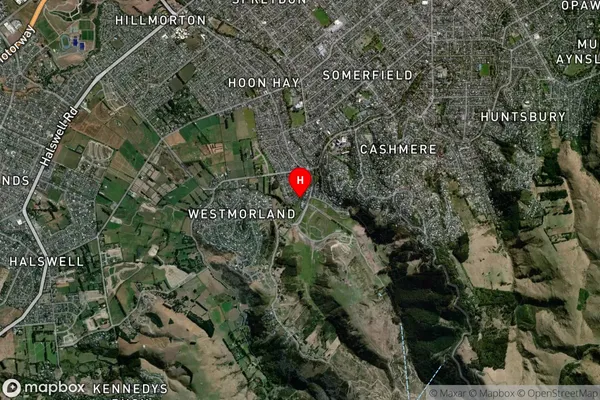
Suburb in City ChristchurchCracroft Suburb Map (Satellite)
Country
Main Region in AU
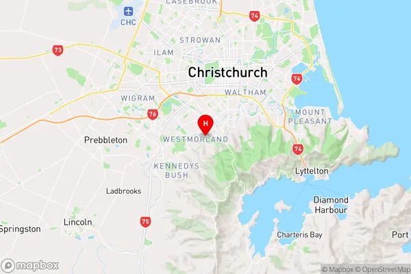
CanterburyCracroft Region Map
Coordinates
-43.5778969,172.6141646 (latitude/longitude)Distances
The distance from Cracroft, Christchurch, Christchurch City to NZ Top 10 Cities