Masterton Area, Masterton Postcode(5810) & Map in Masterton
Masterton Area, Masterton Postcode(5810) & Map in Masterton, Masterton District, New Zealand
Masterton, Masterton District, New Zealand
Masterton Area (estimated)
11.5 square kilometersMasterton Population (estimated)
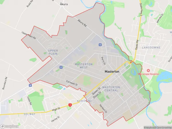
10564 people live in Masterton, Wellington, NZMasterton Suburb Area Map (Polygon)
Masterton Introduction
Masterton is a city in the Wairarapa region of New Zealand's North Island. It is known for its scenic surroundings, including the Wairarapa Mountains and the Tararua Forest. The city has a population of around 50,000 and is home to a variety of industries, including farming, forestry, and tourism. Masterton is also a popular destination for outdoor activities such as hiking, cycling, and fishing.Region
Major City
Suburb Name
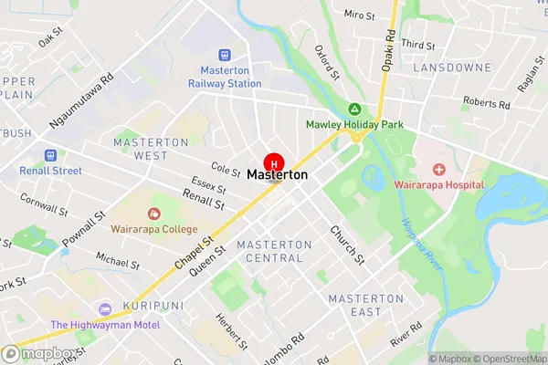
MastertonMasterton Area Map (Street)
Local Authority
Masterton DistrictFull Address
Masterton, Masterton District, New ZealandAddress Type
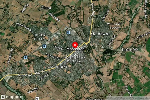
Suburb in Town MastertonMasterton Suburb Map (Satellite)
Country
Main Region in AU
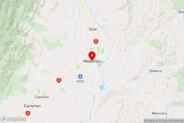
WellingtonMasterton Region Map
Coordinates
-40.9495524,175.6594413 (latitude/longitude)Distances
The distance from Masterton, Masterton, Masterton District to NZ Top 10 Cities