Totara Rocks Area, Totara Rocks Postcode & Map in Totara Rocks
Totara Rocks Area, Totara Rocks Postcode & Map in Totara Rocks, Tasman District, New Zealand
Totara Rocks, Tasman District, New Zealand
Totara Rocks Area (estimated)
-1.2 square kilometersTotara Rocks Population (estimated)
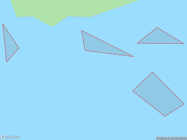
0 people live in Totara Rocks, Tasman, NZTotara Rocks Suburb Area Map (Polygon)
Totara Rocks Introduction
Totara Rocks is a historic site in Tasman, New Zealand, that is important to Māori culture. It is a place of spiritual and cultural significance, with a rich history of human settlement and use. The rocks are a prominent feature in the area and are known for their distinctive shape and size. The site has been protected under the Historic Places Act 1990 and is managed by the Department of Conservation.Region
Suburb Name
Totara Rocks (Maori Name: Tōtara Rocks)Other Name(s)
Boundary BayTotara Rocks Area Map (Street)

Local Authority
Tasman DistrictFull Address
Totara Rocks, Tasman District, New ZealandAddress Type
IslandTotara Rocks Suburb Map (Satellite)

Country
Main Region in AU
TasmanTotara Rocks Region Map

Coordinates
-40.93916565,173.061446439182 (latitude/longitude)Distances
The distance from Totara Rocks, , Tasman District to NZ Top 10 Cities