East Tamaki Heights Area, East Tamaki Heights Postcode(2016) & Map in East Tamaki Heights
East Tamaki Heights Area, East Tamaki Heights Postcode(2016) & Map in East Tamaki Heights, Auckland, New Zealand
East Tamaki Heights, Auckland, New Zealand
East Tamaki Heights Postcodes
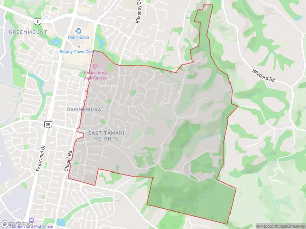
East Tamaki Heights Area (estimated)
4.6 square kilometersEast Tamaki Heights Population (estimated)
5632 people live in East Tamaki Heights, Howick, NZEast Tamaki Heights Suburb Area Map (Polygon)
East Tamaki Heights Introduction
East Tamaki Heights is a suburb in Auckland, New Zealand. It is located in the eastern part of the city and is known for its suburban lifestyle and peaceful environment. The suburb has a mix of residential and commercial areas, with several parks and recreational facilities. It is also home to the East Tamaki Shopping Centre, which includes a variety of shops, restaurants, and entertainment options. East Tamaki Heights is well-connected to other parts of Auckland via public transport, with several bus routes and the Auckland Train Station nearby.Region
Major City
Suburb Name
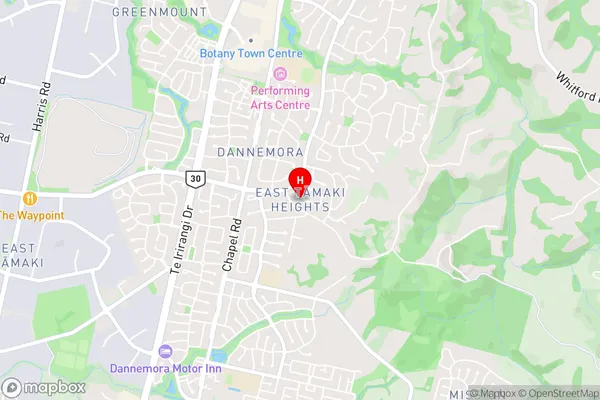
East Tamaki Heights (Maori Name: East Tāmaki Heights)East Tamaki Heights Area Map (Street)
Local Authority
AucklandFull Address
East Tamaki Heights, Auckland, New ZealandAddress Type
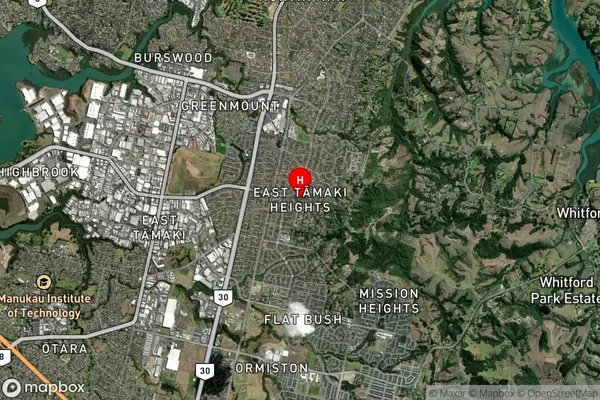
Suburb in City AucklandEast Tamaki Heights Suburb Map (Satellite)
Country
Main Region in AU
AucklandEast Tamaki Heights Region Map
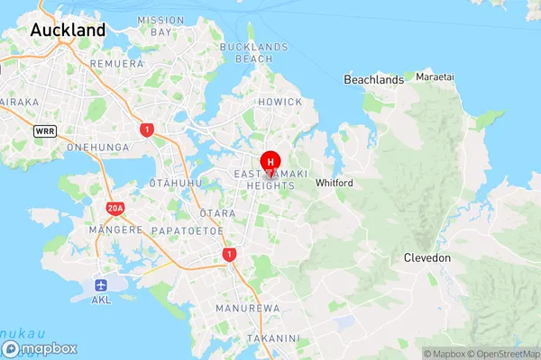
Coordinates
-36.9436604,174.9173892 (latitude/longitude)Distances
The distance from East Tamaki Heights, Auckland, Auckland to NZ Top 10 Cities