Tongariro Forest Park Area, Tongariro Forest Park Postcode & Map in Tongariro Forest Park
Tongariro Forest Park Area, Tongariro Forest Park Postcode & Map in Tongariro Forest Park, Ruapehu District,
Tongariro Forest Park, Ruapehu District,
Tongariro Forest Park Area (estimated)
325.5 square kilometersTongariro Forest Park Population (estimated)
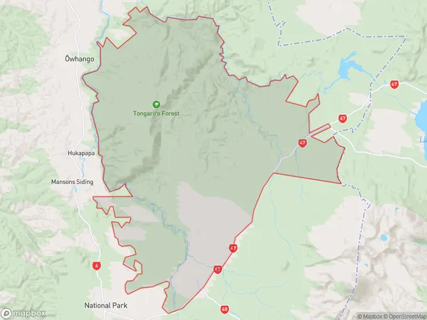
23 people live in Tongariro Forest Park, , NZTongariro Forest Park Suburb Area Map (Polygon)
 00
00Suburb Name
Tongariro Forest ParkOther Name(s)
Ketetahi, TaurewaTongariro Forest Park Area Map (Street)
Local Authority
Ruapehu DistrictFull Address
Tongariro Forest Park, Ruapehu District,Address Type
Conservation Land in Major Locality Tongariro Forest ParkTongariro Forest Park Suburb Map (Satellite)
Country
Main Region in AU
Tongariro Forest Park Region Map
Coordinates
0,0 (latitude/longitude)Distances
The distance from Tongariro Forest Park, Tongariro Forest Park, Ruapehu District to NZ Top 10 Cities