Makakahi Area, Makakahi Postcode & Map in Makakahi
Makakahi Area, Makakahi Postcode & Map in Makakahi, Ruapehu District,
Makakahi, Ruapehu District,
Makakahi Area (estimated)
107.9 square kilometersMakakahi Population (estimated)
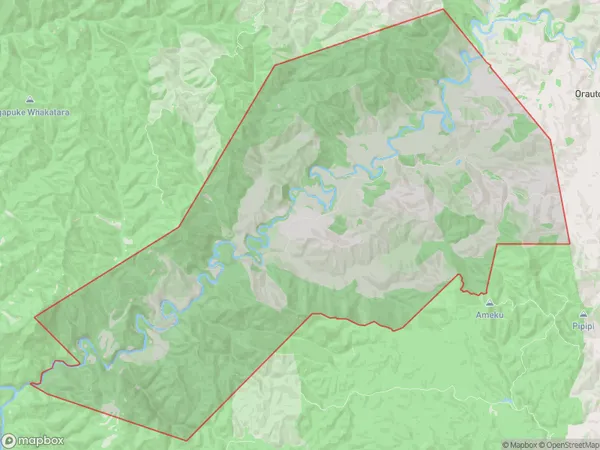
23 people live in Makakahi, , NZMakakahi Suburb Area Map (Polygon)
Makakahi Introduction
Makakahi is a small rural community in Raetihi, New Zealand. It is located on State Highway 3 and is surrounded by farmland and native bush. The community has a primary school, a post office, and a small supermarket. Makakahi is known for its beautiful natural surroundings, including the Makakahi Scenic Reserve and the Makakahi Stream. The community has a strong sense of community and hosts regular events such as the Makakahi Agricultural Show and the Makakahi Christmas Party.00Suburb Name
MakakahiMakakahi Area Map (Street)
Local Authority
Ruapehu DistrictFull Address
Makakahi, Ruapehu District,Address Type
Suburb in Town RaetihiMakakahi Suburb Map (Satellite)
Country
Main Region in AU
Makakahi Region Map
Coordinates
0,0 (latitude/longitude)Distances
The distance from Makakahi, Raetihi, Ruapehu District to NZ Top 10 Cities