Aukopae Area, Aukopae Postcode(3991) & Map in Aukopae
Aukopae Area, Aukopae Postcode(3991) & Map in Aukopae, Ruapehu District, New Zealand
Aukopae, Ruapehu District, New Zealand
Aukopae Postcodes
Aukopae Area (estimated)
-1.2 square kilometersAukopae Population (estimated)
128 people live in Aukopae, Manawatu-Wanganui, NZAukopae Suburb Area Map (Polygon)
Not available for nowAukopae Introduction
Aukopae is a small rural community in Taumarunui, Manawatu-Wanganui, New Zealand. It is located on State Highway 3, approximately 10 kilometers north of Taumarunui and 120 kilometers south of Palmerston North. The community has a population of around 100 people and is known for its scenic surroundings and peaceful atmosphere. Aukopae has a primary school, a post office, and a small community hall. The area is popular with outdoor enthusiasts, with nearby hiking and fishing opportunities.Region
Major City
Suburb Name
AukopaeOther Name(s)
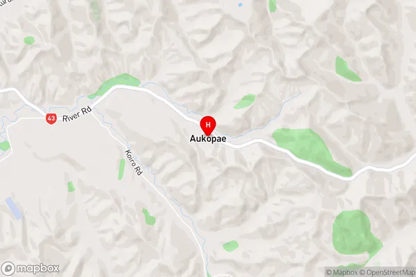
Koiro, Opatu, OtunuiAukopae Area Map (Street)
Local Authority
Ruapehu DistrictFull Address
Aukopae, Ruapehu District, New ZealandAddress Type
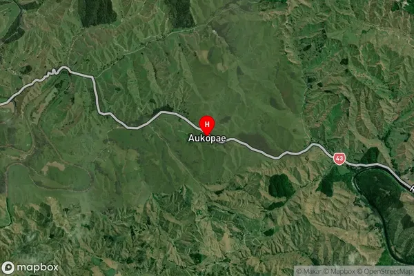
Suburb in Town TaumarunuiAukopae Suburb Map (Satellite)
Country
Main Region in AU
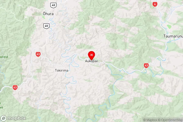
Manawatu-WanganuiAukopae Region Map
Coordinates
-38.92488,175.08038 (latitude/longitude)Distances
The distance from Aukopae, Taumarunui, Ruapehu District to NZ Top 10 Cities