Mangere Island Area, Mangere Island Postcode & Map in Mangere Island
Mangere Island Area, Mangere Island Postcode & Map in Mangere Island, Chatham Islands Territory, New Zealand
Mangere Island, Chatham Islands Territory, New Zealand
Mangere Island Area (estimated)
1.8 square kilometersMangere Island Population (estimated)
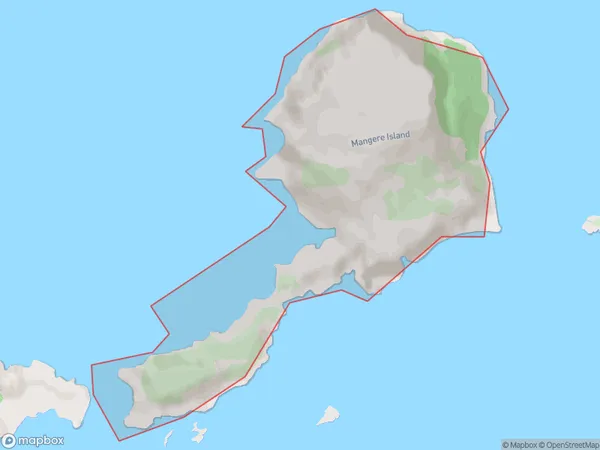
2 people live in Mangere Island, , NZMangere Island Suburb Area Map (Polygon)
Mangere Island Introduction
Mangere Island is a small island in the Chatham Islands, New Zealand. It is home to a large bird sanctuary and is a popular spot for birdwatching. The island also has a population of seals and other marine animals. Mangere Island is accessible by ferry from Chatham Island.00Suburb Name
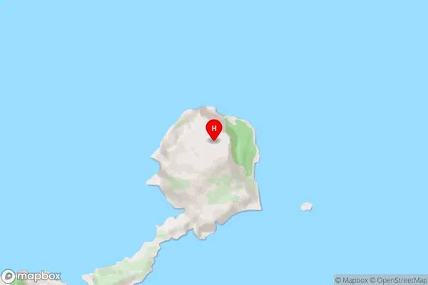
Mangere IslandMangere Island Area Map (Street)
Local Authority
Chatham Islands TerritoryFull Address
Mangere Island, Chatham Islands Territory, New ZealandAddress Type
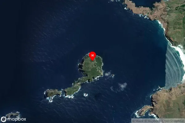
Island in Major Locality Chatham IslandsMangere Island Suburb Map (Satellite)
Country
Main Region in AU
Mangere Island Region Map

Coordinates
-44.265432,-176.2934403 (latitude/longitude)Distances
The distance from Mangere Island, Chatham Islands, Chatham Islands Territory to NZ Top 10 Cities