Chatham Island Area, Chatham Island Postcode & Map in Chatham Island
Chatham Island Area, Chatham Island Postcode & Map in Chatham Island, Chatham Islands Territory, New Zealand
Chatham Island, Chatham Islands Territory, New Zealand
Chatham Island Area (estimated)
1120.2 square kilometersChatham Island Population (estimated)
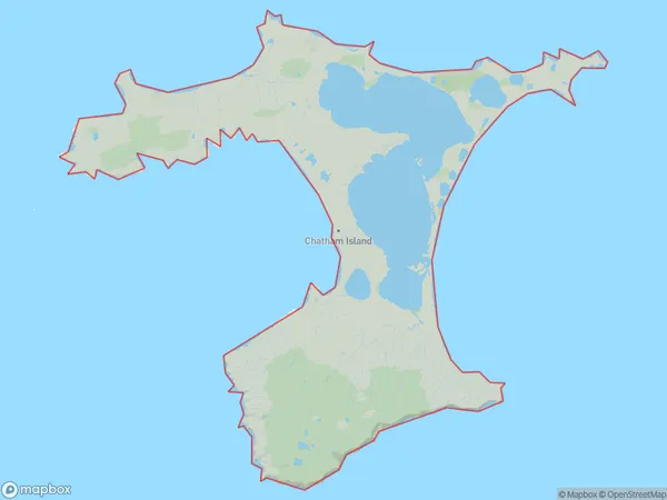
747 people live in Chatham Island, , NZChatham Island Suburb Area Map (Polygon)
Chatham Island Introduction
Chatham Island is the most southerly of the Chatham Islands in New Zealand. It is 88 km (55 mi) east of Cape Reinga and 105 km (65 mi) south of the main New Zealand island. The island has a land area of 49 km2 (19 sq mi) and a population of around 600 people. The island is known for its scenic landscapes, including rolling hills, beaches, and a variety of wildlife. The main settlement on the island is Chatham Village, which is located on the western side of the island.00Suburb Name
Chatham IslandChatham Island Area Map (Street)
Local Authority
Chatham Islands TerritoryFull Address
Chatham Island, Chatham Islands Territory, New ZealandAddress Type
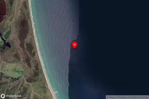
Island in Major Locality Chatham IslandsChatham Island Suburb Map (Satellite)
Country
Main Region in AU
Chatham Island Region Map

Coordinates
-43.9800738,-176.3838121 (latitude/longitude)Distances
The distance from Chatham Island, Chatham Islands, Chatham Islands Territory to NZ Top 10 Cities