Glenbervie Forest Area, Glenbervie Forest Postcode & Map in Glenbervie Forest
Glenbervie Forest Area, Glenbervie Forest Postcode & Map in Glenbervie Forest, Whangarei District, New Zealand
Glenbervie Forest, Whangarei District, New Zealand
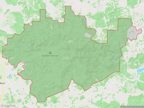
Glenbervie Forest Area (estimated)
74.2 square kilometersGlenbervie Forest Population (estimated)
11 people live in Glenbervie Forest, Northland, NZGlenbervie Forest Suburb Area Map (Polygon)
Glenbervie Forest Introduction
Glenbervie Forest is a forest located in the Hikurangi region of Northland, New Zealand. It is known for its scenic beauty, including waterfalls, native trees, and walking tracks. The forest is a popular destination for tourists and outdoor enthusiasts, with a range of activities to enjoy, such as hiking, mountain biking, and picnicking.Region
Major City
Suburb Name
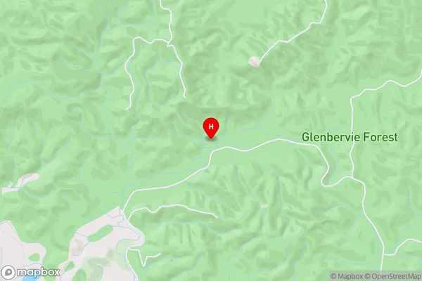
Glenbervie ForestGlenbervie Forest Area Map (Street)
Local Authority
Whangarei DistrictFull Address
Glenbervie Forest, Whangarei District, New ZealandAddress Type
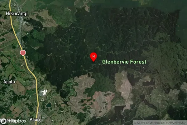
Suburb in Town HikurangiGlenbervie Forest Suburb Map (Satellite)
Country
Main Region in AU
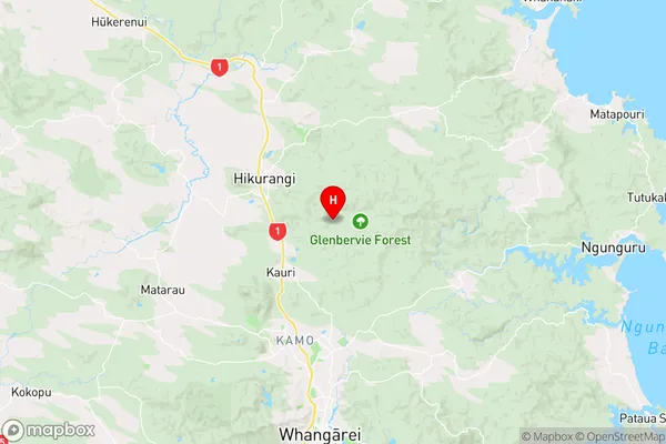
NorthlandGlenbervie Forest Region Map
Coordinates
-35.6206394,174.3273216142 (latitude/longitude)Distances
The distance from Glenbervie Forest, Hikurangi, Whangarei District to NZ Top 10 Cities