Aotea Area, Aotea Postcode(5025) & Map in Aotea
Aotea Area, Aotea Postcode(5025) & Map in Aotea, Porirua City, New Zealand
Aotea, Porirua City, New Zealand
Aotea Area (estimated)
3.5 square kilometersAotea Population (estimated)
4078 people live in Aotea, Porirua, NZAotea Suburb Area Map (Polygon)
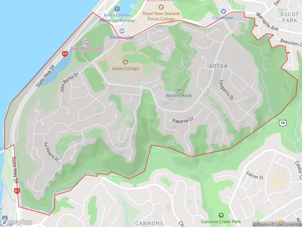
Aotea Introduction
Aotea is a suburb of Porirua, Wellington, New Zealand, with a population of around 11,000 people. It is known for its vibrant community, with a mix of residential areas, retail spaces, and recreational facilities. The suburb is home to Aotea Square, a popular shopping and entertainment hub, and is also close to the Porirua City Centre and the Wellington CBD. Aotea is well-connected to other parts of the city via public transport, with bus routes and the Aotea Station providing easy access to the rest of the region.Region
Major City
Suburb Name
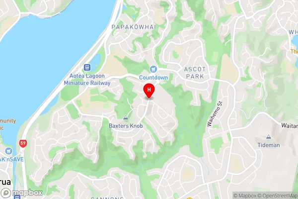
AoteaAotea Area Map (Street)
Local Authority
Porirua CityFull Address
Aotea, Porirua City, New ZealandAddress Type
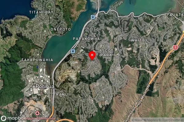
Suburb in City PoriruaAotea Suburb Map (Satellite)
Country
Main Region in AU
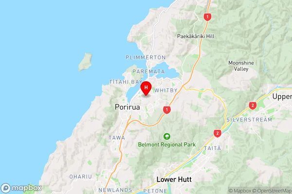
WellingtonAotea Region Map
Coordinates
-41.1247298,174.866195 (latitude/longitude)Distances
The distance from Aotea, Porirua, Porirua City to NZ Top 10 Cities