Halfmoon Bay / Oban Area, Halfmoon Bay / Oban Postcode(9818) & Map in Halfmoon Bay / Oban
Halfmoon Bay / Oban Area, Halfmoon Bay / Oban Postcode(9818) & Map in Halfmoon Bay / Oban, Southland District, New Zealand
Halfmoon Bay / Oban, Southland District, New Zealand
Halfmoon Bay / Oban Postcodes
Halfmoon Bay / Oban Area (estimated)
1.5 square kilometersHalfmoon Bay / Oban Population (estimated)
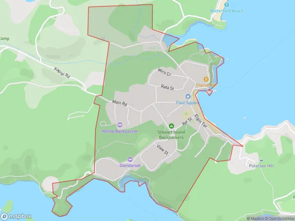
281 people live in Halfmoon Bay / Oban, Stewart Island / Rakiura Community, NZHalfmoon Bay / Oban Suburb Area Map (Polygon)
Halfmoon Bay / Oban Introduction
Halfmoon Bay / Oban is a picturesque settlement on Stewart Island, Southland, New Zealand. It is located at the southern end of the island and is known for its stunning coastal scenery, including golden beaches, rugged cliffs, and lush forests. The area is a popular destination for outdoor activities such as hiking, fishing, and wildlife watching, with several walking trails and scenic viewpoints. The settlement also has a small population of residents and a variety of accommodation options, including a lodge and a campground.Region
Major City
Suburb Name
Halfmoon Bay / ObanOther Name(s)
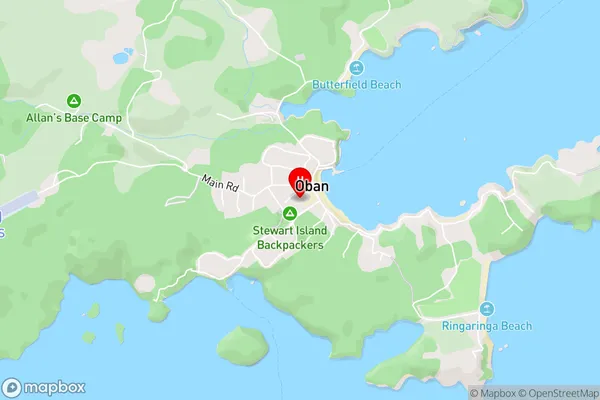
Oban, Stewart Island / RakiuraHalfmoon Bay / Oban Area Map (Street)
Local Authority
Southland DistrictFull Address
Halfmoon Bay / Oban, Southland District, New ZealandAddress Type
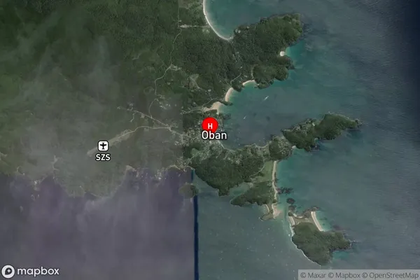
Suburb in Major Locality Stewart IslandHalfmoon Bay / Oban Suburb Map (Satellite)
Country
Main Region in AU
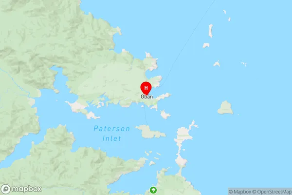
SouthlandHalfmoon Bay / Oban Region Map
Coordinates
-46.898813,168.127361 (latitude/longitude)Distances
The distance from Halfmoon Bay / Oban, Stewart Island, Southland District to NZ Top 10 Cities