Marshland Area, Marshland Postcode(8051) & Map in Marshland
Marshland Area, Marshland Postcode(8051) & Map in Marshland, Christchurch City, New Zealand
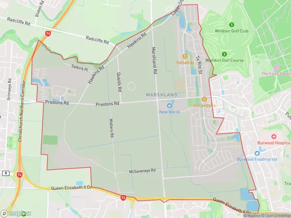
Marshland, Christchurch City, New Zealand
Marshland Area (estimated)
10.5 square kilometersMarshland Population (estimated)
4366 people live in Marshland, Coastal-Burwood Community, NZMarshland Suburb Area Map (Polygon)
Marshland Introduction
Marshland is a suburb of Christchurch, New Zealand, located in the eastern suburbs of the city. It is known for its peaceful atmosphere, scenic parks, and well-maintained homes. The suburb has a strong community spirit and is home to a variety of shops, restaurants, and recreational facilities. Marshland is also well-connected to other parts of the city, with easy access to the motorway and public transportation.Region
Major City
Suburb Name
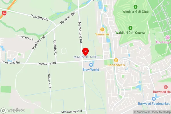
MarshlandMarshland Area Map (Street)
Local Authority
Christchurch CityFull Address
Marshland, Christchurch City, New ZealandAddress Type
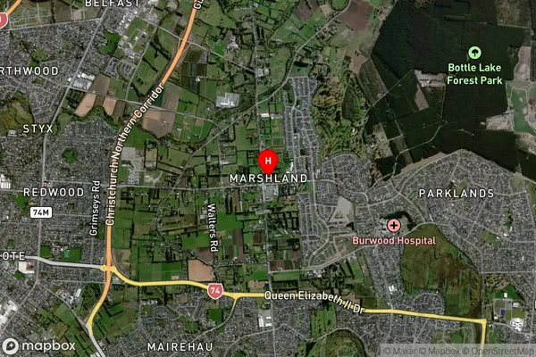
Suburb in City ChristchurchMarshland Suburb Map (Satellite)
Country
Main Region in AU
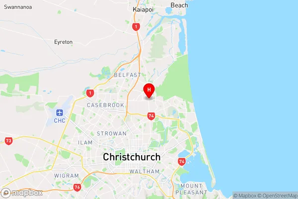
CanterburyMarshland Region Map
Coordinates
-43.4734359,172.660376 (latitude/longitude)Distances
The distance from Marshland, Christchurch, Christchurch City to NZ Top 10 Cities