Te Horo Beach Area, Te Horo Beach Postcode & Map in Te Horo Beach
Te Horo Beach Area, Te Horo Beach Postcode & Map in Te Horo Beach, Kapiti Coast District,
Te Horo Beach, Kapiti Coast District,
Te Horo Beach Area (estimated)
3.8 square kilometersTe Horo Beach Population (estimated)
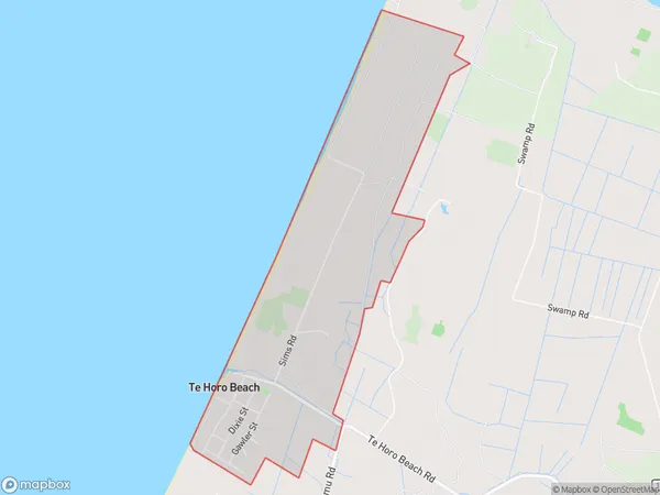
435 people live in Te Horo Beach, Otaki, NZTe Horo Beach Suburb Area Map (Polygon)
Te Horo Beach Introduction
Te Horo Beach is a popular beach in Otaki, Wellington, New Zealand. It is known for its long stretch of sandy beach, stunning coastal views, and tranquil atmosphere. The beach is a popular spot for swimming, sunbathing, and beach volleyball, and it is also home to a small community of sea birds. The beach is accessible via a short walk from the Otaki town center and has a car park and public toilets.Region
Major City
Suburb Name
Te Horo BeachTe Horo Beach Area Map (Street)
Local Authority
Kapiti Coast DistrictFull Address
Te Horo Beach, Kapiti Coast District,Address Type
Locality in Town OtakiTe Horo Beach Suburb Map (Satellite)
Country
Main Region in AU
WellingtonTe Horo Beach Region Map
Coordinates
0,0 (latitude/longitude)Distances
The distance from Te Horo Beach, Otaki, Kapiti Coast District to NZ Top 10 Cities