Rowallan Area, Rowallan Postcode & Map in Rowallan
Rowallan Area, Rowallan Postcode & Map in Rowallan, Southland District,
Rowallan, Southland District,
Rowallan Area (estimated)
414.5 square kilometersRowallan Population (estimated)
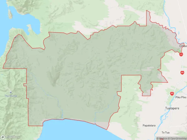
48 people live in Rowallan, Tuatapere, NZRowallan Suburb Area Map (Polygon)
Rowallan Introduction
Rowallan is a small rural community in Southland, New Zealand, located on the banks of the Mataura River. It is known for its historic stone buildings and scenic surroundings, and is a popular destination for tourists and outdoor enthusiasts. The area has a rich history, including the settlement of Scottish and Irish settlers in the 19th century.Region
Major City
Suburb Name
RowallanRowallan Area Map (Street)
Local Authority
Southland DistrictFull Address
Rowallan, Southland District,Address Type
Locality in Town TuatapereRowallan Suburb Map (Satellite)
Country
Main Region in AU
SouthlandRowallan Region Map
Coordinates
0,0 (latitude/longitude)Distances
The distance from Rowallan, Tuatapere, Southland District to NZ Top 10 Cities