Marsden Area, Marsden Postcode(7805) & Map in Marsden
Marsden Area, Marsden Postcode(7805) & Map in Marsden, Grey District, New Zealand
Marsden, Grey District, New Zealand
Marsden Postcodes
Marsden Area (estimated)
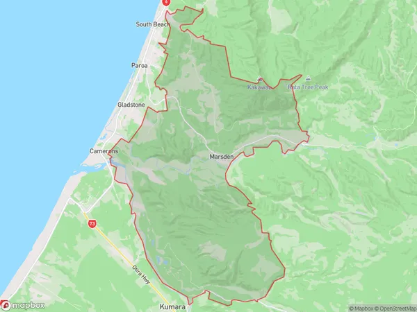
107.6 square kilometersMarsden Population (estimated)
404 people live in Marsden, West Coast, NZMarsden Suburb Area Map (Polygon)
Marsden Introduction
Marsden is a small rural town on the West Coast of New Zealand's South Island. It is known for its coal mining heritage and stunning natural surroundings, including the nearby glaciers and forests. The town has a population of around 3,000 people and is located about 120 kilometers northwest of Greymouth.Region
Major City
Suburb Name
MarsdenOther Name(s)
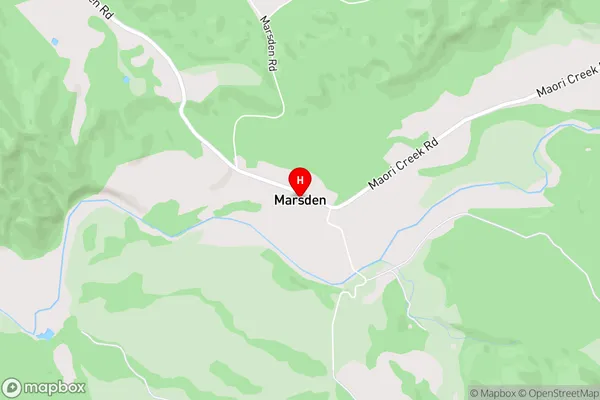
South BeachMarsden Area Map (Street)
Local Authority
Grey DistrictFull Address
Marsden, Grey District, New ZealandAddress Type
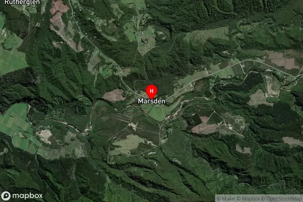
Suburb in Town GreymouthMarsden Suburb Map (Satellite)
Country
Main Region in AU
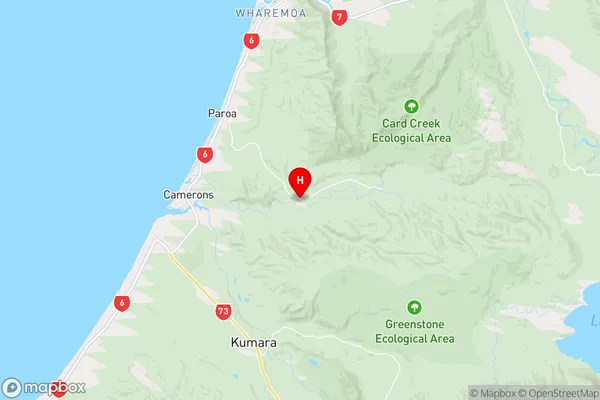
West CoastMarsden Region Map
Coordinates
-42.5578686,171.2187696 (latitude/longitude)Distances
The distance from Marsden, Greymouth, Grey District to NZ Top 10 Cities