New River Estuary Area, New River Estuary Postcode & Map in New River Estuary
New River Estuary Area, New River Estuary Postcode & Map in New River Estuary, Invercargill City, New Zealand
New River Estuary, Invercargill City, New Zealand
New River Estuary Area (estimated)
41.5 square kilometersNew River Estuary Population (estimated)
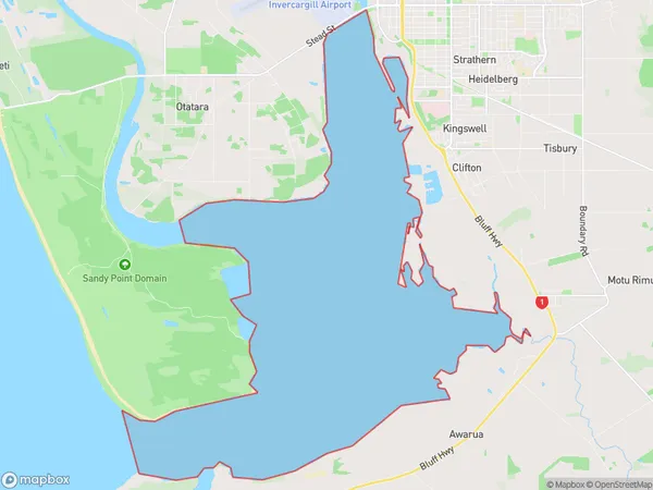
0 people live in New River Estuary, Invercargill City, NZNew River Estuary Suburb Area Map (Polygon)
New River Estuary Introduction
The New River Estuary is a wetland area in Southland, New Zealand, that is home to a variety of bird species, including the rare and endangered southern bald eagle. The estuary is also an important stopover point for migratory birds traveling between Australia and New Zealand. The area is protected under the New River Estuary Conservation Park Act 1975.Region
Major City
Suburb Name
New River EstuaryNew River Estuary Area Map (Street)
Local Authority
Invercargill CityFull Address
New River Estuary, Invercargill City, New ZealandAddress Type
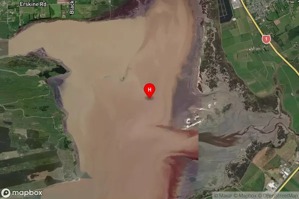
Coastal BayNew River Estuary Suburb Map (Satellite)
Country
Main Region in AU
SouthlandNew River Estuary Region Map

Coordinates
-46.4755,168.330194 (latitude/longitude)Distances
The distance from New River Estuary, , Invercargill City to NZ Top 10 Cities