Te Puna Inlet Area, Te Puna Inlet Postcode & Map in Te Puna Inlet
Te Puna Inlet Area, Te Puna Inlet Postcode & Map in Te Puna Inlet, Far North District, New Zealand
Te Puna Inlet, Far North District, New Zealand
Te Puna Inlet Area (estimated)
-1.2 square kilometersTe Puna Inlet Population (estimated)
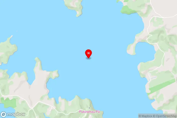
0 people live in Te Puna Inlet, Bay of Islands-Whangaroa Community, NZTe Puna Inlet Suburb Area Map (Polygon)
Not available for nowTe Puna Inlet Introduction
Te Puna Inlet is a natural harbor and estuary in Northland, New Zealand. It is located at the southern end of the Bay of Islands and is known for its stunning natural beauty, including rugged cliffs, pristine beaches, and diverse marine life. The inlet is a popular destination for boating, fishing, and kayaking, and is home to a small community of residents.Region
Major City
Suburb Name
Te Puna InletOther Name(s)
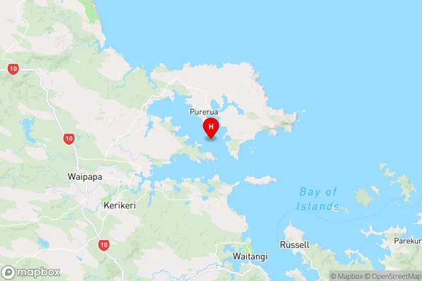
Bay Of IslandsTe Puna Inlet Area Map (Street)
Local Authority
Far North DistrictFull Address
Te Puna Inlet, Far North District, New ZealandAddress Type
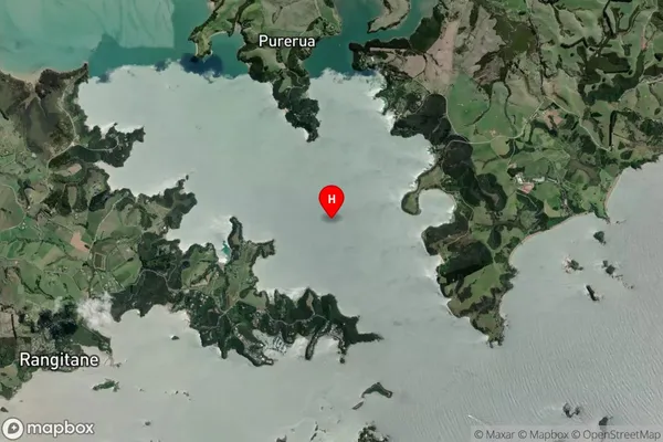
Coastal BayTe Puna Inlet Suburb Map (Satellite)
Country
Main Region in AU
NorthlandTe Puna Inlet Region Map
Coordinates
-35.1779874,174.0420905 (latitude/longitude)Distances
The distance from Te Puna Inlet, , Far North District to NZ Top 10 Cities