Te Aroha Bay Area, Te Aroha Bay Postcode & Map in Te Aroha Bay
Te Aroha Bay Area, Te Aroha Bay Postcode & Map in Te Aroha Bay, Marlborough District, New Zealand
Te Aroha Bay, Marlborough District, New Zealand
Te Aroha Bay Area (estimated)
0.7 square kilometersTe Aroha Bay Population (estimated)
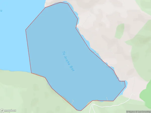
0 people live in Te Aroha Bay, Marlborough, NZTe Aroha Bay Suburb Area Map (Polygon)
Te Aroha Bay Introduction
Te Aroha Bay is a popular beach in Marlborough, New Zealand. It is known for its clear waters, golden sand, and stunning coastal views. The bay is a popular spot for swimming, surfing, and fishing, and it is also home to a small community of residents. The bay is surrounded by picturesque farmland and has a peaceful atmosphere.Region
Suburb Name
Te Aroha BayOther Name(s)
Otanerau Bay, East Bay, Queen Charlotte Sound (Totaranui)Te Aroha Bay Area Map (Street)

Local Authority
Marlborough DistrictFull Address
Te Aroha Bay, Marlborough District, New ZealandAddress Type
Coastal BayTe Aroha Bay Suburb Map (Satellite)

Country
Main Region in AU
MarlboroughTe Aroha Bay Region Map

Coordinates
-41.172872,174.336120474451 (latitude/longitude)Distances
The distance from Te Aroha Bay, , Marlborough District to NZ Top 10 Cities