Puriri Bay Area, Puriri Bay Postcode & Map in Puriri Bay
Puriri Bay Area, Puriri Bay Postcode & Map in Puriri Bay, Marlborough District, New Zealand
Puriri Bay, Marlborough District, New Zealand
Puriri Bay Area (estimated)
0.1 square kilometersPuriri Bay Population (estimated)
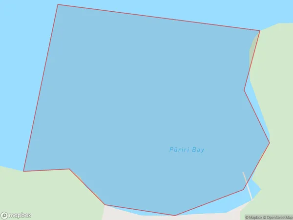
0 people live in Puriri Bay, Marlborough, NZPuriri Bay Suburb Area Map (Polygon)
Puriri Bay Introduction
Puriri Bay is a popular beach in Marlborough, New Zealand. It is known for its clear waters, golden sand, and stunning coastal views. The bay is a popular spot for swimming, sunbathing, and water sports such as kayaking and paddleboarding. It is also home to a variety of marine life, including seals and dolphins. The bay is surrounded by picturesque farmland and is located just a short drive from the town of Blenheim.Region
Suburb Name
Puriri Bay (Maori Name: Pūriri Bay)Other Name(s)
Otanerau Bay, East Bay, Queen Charlotte Sound (Totaranui)Puriri Bay Area Map (Street)

Local Authority
Marlborough DistrictFull Address
Puriri Bay, Marlborough District, New ZealandAddress Type
Coastal BayPuriri Bay Suburb Map (Satellite)

Country
Main Region in AU
MarlboroughPuriri Bay Region Map

Coordinates
-41.1751336,174.324099215169 (latitude/longitude)Distances
The distance from Puriri Bay, , Marlborough District to NZ Top 10 Cities