Ponganui Bay Area, Ponganui Bay Postcode & Map in Ponganui Bay
Ponganui Bay Area, Ponganui Bay Postcode & Map in Ponganui Bay, Marlborough District, New Zealand
Ponganui Bay, Marlborough District, New Zealand
Ponganui Bay Area (estimated)
0.3 square kilometersPonganui Bay Population (estimated)
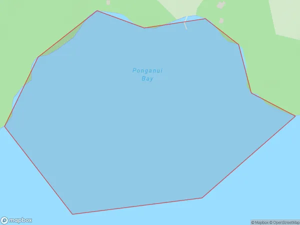
0 people live in Ponganui Bay, Marlborough, NZPonganui Bay Suburb Area Map (Polygon)
Ponganui Bay Introduction
Ponganui Bay is a popular holiday destination in Marlborough, New Zealand. It is known for its crystal-clear waters, sandy beaches, and stunning coastal scenery. The bay is surrounded by lush green hills and offers a range of recreational activities, including swimming, snorkeling, kayaking, and fishing. It is also home to a small community of residents and a popular campground.Region
Suburb Name
Ponganui BayOther Name(s)
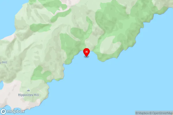
Current BasinPonganui Bay Area Map (Street)
Local Authority
Marlborough DistrictFull Address
Ponganui Bay, Marlborough District, New ZealandAddress Type
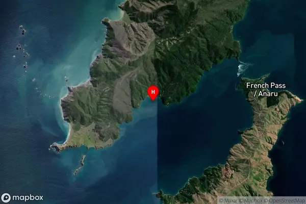
Coastal BayPonganui Bay Suburb Map (Satellite)
Country
Main Region in AU
MarlboroughPonganui Bay Region Map

Coordinates
-40.9301068,173.8051597 (latitude/longitude)Distances
The distance from Ponganui Bay, , Marlborough District to NZ Top 10 Cities